Chest opened
+${chestReward.xp} XP
Explorer
NOUVEAU ×${chestReward.collectible.quantity}
tapez pour fermer
Chest locked

Open chests in the app

Around Us is built for your phone — chests unlock when you walk, explore and capture nearby places.

Enable Location

We need your location to show you interesting places around you

Discover nearby places

Find interesting locations and hidden gems around you

Precise directions

Get accurate directions and distances to places

Your location is never shared with other users. It's only used when you tap the location button.

Nohra

Log in to your account

Start exploring — it's free

Trusted by 72,876 travelers worldwide

Continue with Google
Continue with Apple
or

We will send you a code to connect

By continuing, you accept our Terms and Conditions and our Privacy Policy

Check your inbox

We've sent a pincode in your inbox. Please enter the code below.

Discussion Reviews 1 Photos
14.7k Popularity

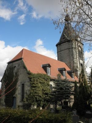
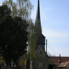
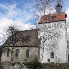
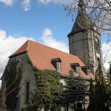
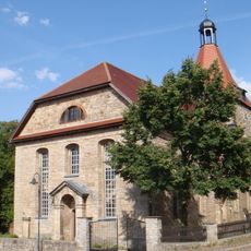
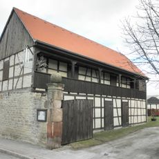
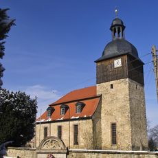
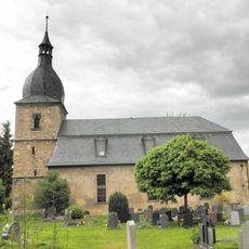
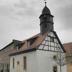
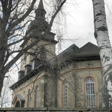
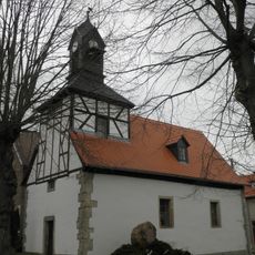
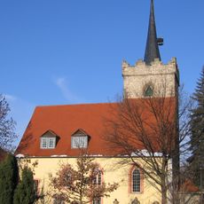
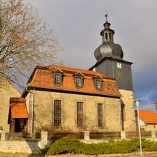
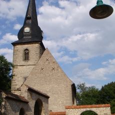
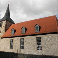
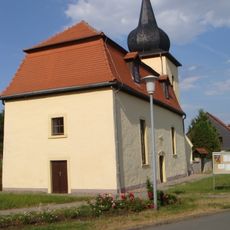
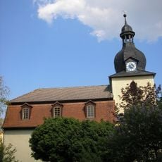
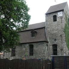
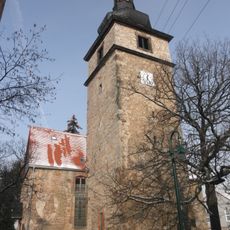
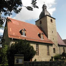
Nohra, Administrative district in Weimarer Land, Germany

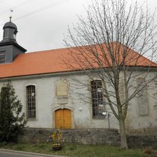
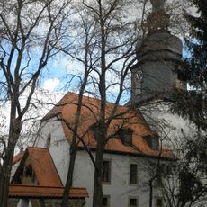
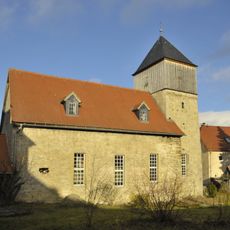
Nohra is a village district in Grammetal municipality, situated in the Weimarer Land region of Thuringia. The settlement spreads across rolling terrain and is surrounded by farmland and forests that shape the local landscape.

The settlement was first documented in 1217 when it fell under Erfurt's control during regional conflicts. Over the following centuries, the village remained an important stopping point along local trade routes and maintained its agricultural character.

Archaeological excavations between 1911 and 1936 uncovered a Bronze Age burial ground containing 44 graves with artifacts indicating early settlement patterns.

The village is accessible via local roads and has basic facilities for visitors passing through. Late spring through early autumn offers pleasant weather for exploring the surrounding countryside and walking routes.

Martin Luther passed through Nohra in 1521 on his journey to Worms, marking his first stop beyond electoral territory. This passage of the Reformation leader remains part of the village's historical identity.

The community of curious travelers

AroundUs brings together thousands of curated places, local tips, and hidden gems, enriched daily by 60,000 contributors worldwide.

Start exploring
Location
Elevation above the sea
315 m
Shares border with
Troistedt, Isseroda
GPS coordinates
50.96528,11.23389
Latest update
December 7, 2025 20:20
Reviews
Share your experience

No review yet

Discussions
Start a discussion...

No discussion yet

« Nohra - Administrative district in Weimarer Land, Germany » is provided by Around Us (aroundus.com). Images and texts are derived from Wikimedia project under a Creative Commons license. You are allowed to copy, distribute, and modify copies of this page, under the conditions set by the license, as long as this note is clearly visible.

Discover hidden gems everywhere you go!

From secret cafés to breathtaking viewpoints, skip the crowded tourist spots and find places that match your style. Our app makes it easy with voice search, smart filtering, route optimization, and insider tips from travelers worldwide. Download now for the complete mobile experience.

Around Us App Screenshot

A unique approach to discovering new places

Le Figaro

All the places worth exploring

France Info

A tailor-made excursion in just a few clicks

20 Minutes

Around Us
Travel Guide & Maps
Download

Send to your phone

QR Code
1

Open the camera app on your mobile.

2

Point at the QR code with your camera. A notification will appear.

3

Tap the notification to open the link.