
Hohensaaten, village in Brandenburg state, Germany
Location: Bad Freienwalde
Elevation above the sea: 2 m
GPS coordinates: 52.87435,14.14184
Latest update: March 6, 2025 01:20
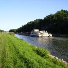
Oder–Havel Canal
7.3 km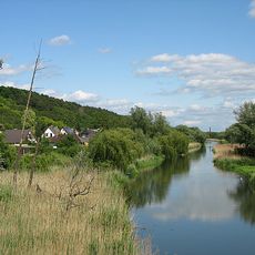
Alte Oder
1.2 km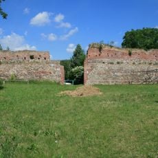
Bärenkasten
7 km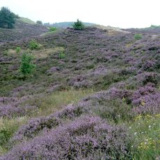
Nature reserve Wrzosowiska Cedyńskie
2.9 km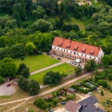
Cistercian monastery of Cedynia
4.1 km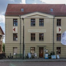
Binnenschifffahrtsmuseum
6.5 km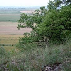
Nature reserve Bielinek
6.4 km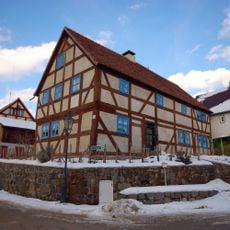
Marowski-Haus
6.5 km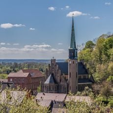
St. Nicholas church Oderberg
6.7 km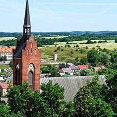
Kościół Narodzenia Najświętszej Maryi Panny w Cedyni
4.2 km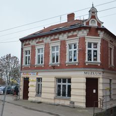
Muzeum Regionalne w Cedyni
4.1 km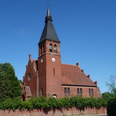
Village church Neuenhagen in der Neumark
7.3 km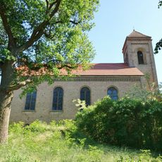
Village church Altglietzen
5.6 km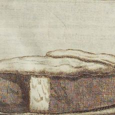
Großsteingrab Golice
8.2 km
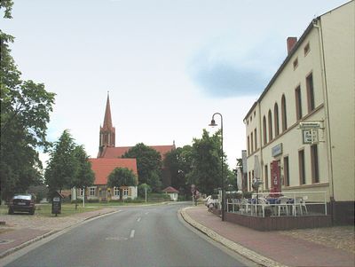
Dorfkirche Hohensaaten
262 m
Dorfkirche
6.2 km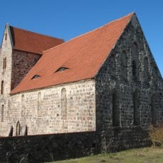
Village church Neuendorf
6.3 km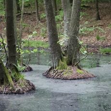
Breitefenn
7 km
Breitefenn
7 km
Ratusz w Cedyni
4.2 km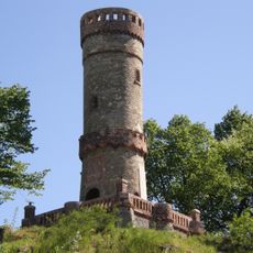
Wieża widokowa
4.1 km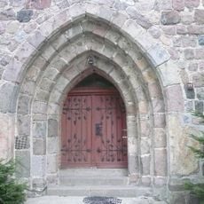
Kościół św. Józefa Robotnika w Lubiechowie Górnym
7.2 km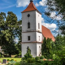
Village church Lüdersdorf
7.9 km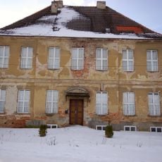
Amtshaus
6.2 km
Pimpinellenberg
8.2 km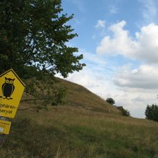
Gabower Hangkante
6.8 km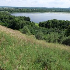
Trockenhänge Oderberg-Liepe
7 km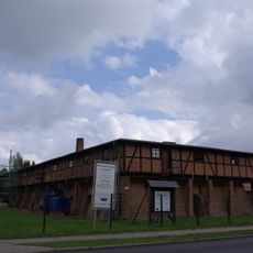
Ziegelei Altglietzen
6.2 kmVisited this place? Tap the stars to rate it and share your experience / photos with the community! Try now! You can cancel it anytime.
Discover hidden gems everywhere you go!
From secret cafés to breathtaking viewpoints, skip the crowded tourist spots and find places that match your style. Our app makes it easy with voice search, smart filtering, route optimization, and insider tips from travelers worldwide. Download now for the complete mobile experience.

A unique approach to discovering new places❞
— Le Figaro
All the places worth exploring❞
— France Info
A tailor-made excursion in just a few clicks❞
— 20 Minutes