Bachern, human settlement in Germany
Location: Friedberg
Elevation above the sea: 496 m
GPS coordinates: 48.31100,11.04590
Latest update: March 13, 2025 06:53
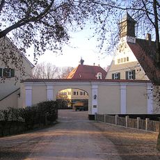
Schloss Mergenthau
3.8 km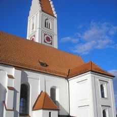
St. Stephan
4.5 km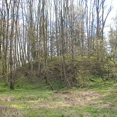
Burgstall Bachern
861 m
Schloss Kissing
4.4 km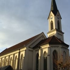
St. Michael (Ottmaring)
3.8 km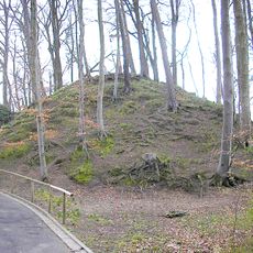
Burgstall Eurasburg
4 km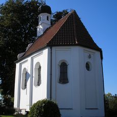
Kapelle St. Peter (Kissing)
4.3 km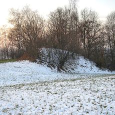
Burgstall Fuchsberg
4.2 km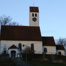
St. Philipp und Walburga (Rohrbach)
1.9 km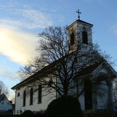
St. Georg
453 m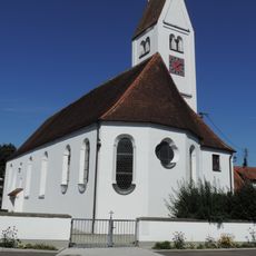
St. Laurentius
3.7 km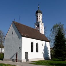
St. Thomas Rederzhausen
4.2 km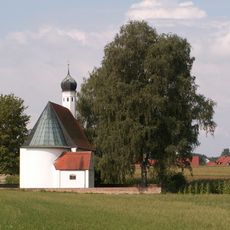
Mariä Heimsuchung
2.3 km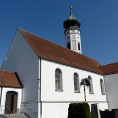
St. Peter und Paul
3.6 km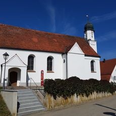
Maria Hilf
2.7 km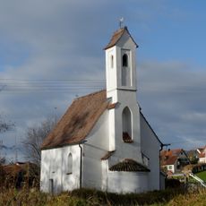
St. Nikolaus
3.9 km
Heilig Kreuz
3.9 km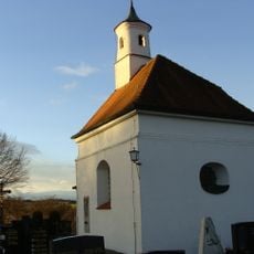
St. Vitus
717 m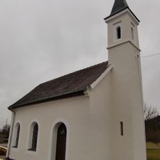
Zur Heiligen Familie
4.3 km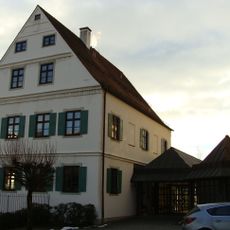
Pfarrhaus
3.8 km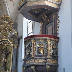
Pulpit of St. Stephan (Kissing)
4.5 km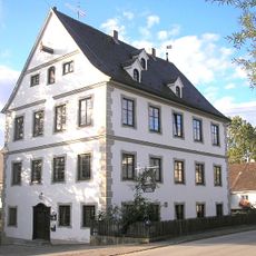
Ehemaliges Ilsungsches Schloss
4.5 km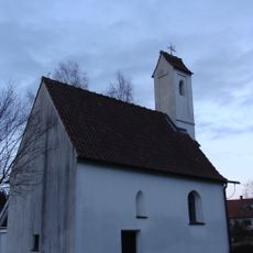
Katholische Filialkirche St. Nikolaus
3.9 km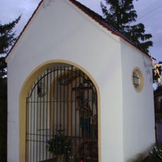
Wegkapelle
4 km
Katholische Filialkirche St. Maria Magdalena
1.9 km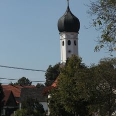
Katholische Filialkirche St. Peter und Paul
3.6 km
Friedberger Lechleite
4.3 km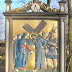
Burgstall Kissing
4.6 kmVisited this place? Tap the stars to rate it and share your experience / photos with the community! Try now! You can cancel it anytime.
Discover hidden gems everywhere you go!
From secret cafés to breathtaking viewpoints, skip the crowded tourist spots and find places that match your style. Our app makes it easy with voice search, smart filtering, route optimization, and insider tips from travelers worldwide. Download now for the complete mobile experience.

A unique approach to discovering new places❞
— Le Figaro
All the places worth exploring❞
— France Info
A tailor-made excursion in just a few clicks❞
— 20 Minutes