Born, municipal district of Hohenstein in Rheingau-Taunus-Kreis, Germany
Location: Hohenstein
Elevation above the sea: 397 m
GPS coordinates: 50.15970,8.10278
Latest update: March 9, 2025 07:43
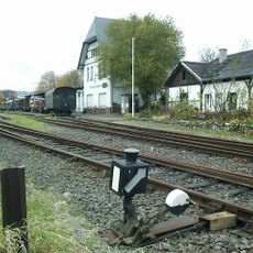
Aar Valley Railway
1.9 km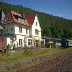
Bahnhof Bad Schwalbach
1.8 km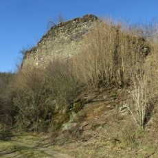
Burg Adolfseck
1.6 km
Schanze Adolfseck
2 km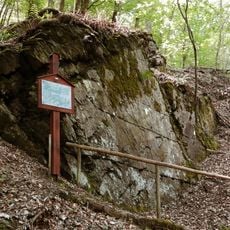
Justinus-Felsen
2.1 km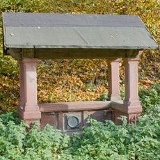
Alexander’s Rest
1.8 km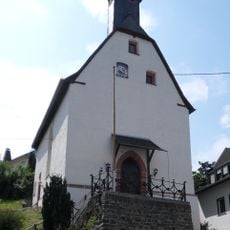
Valentinskapelle
1.7 km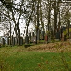
Jewish cemetery, Bad Schwalbach
2.1 km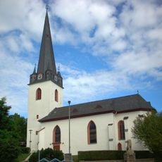
Evangelische Martin-Luther-Kirche
2.4 km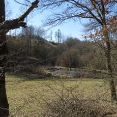
Pohlbachtal bei Adolfseck
1.4 km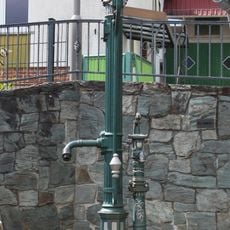
Brunnen
43 m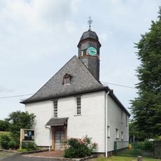
Evangelische Kirche Born
103 m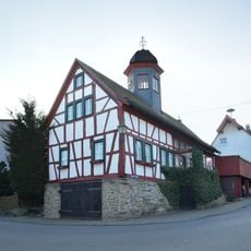
Altes Rathaus
1.5 km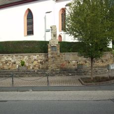
Ehrenmal Bad Schwalbach
2.4 km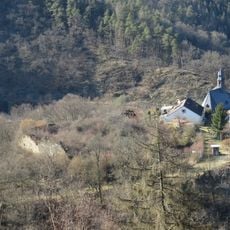
Burgberg und Weiherwiesen von Adolfseck
1.6 km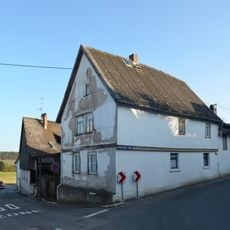
Im Gründchen 1
1.5 km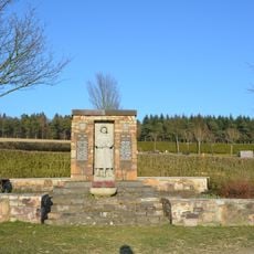
Kriegerdenkmal
1.7 km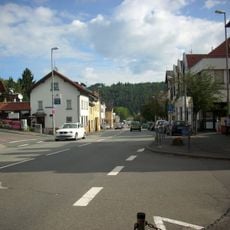
Bahnhofstraße 12–34 (Südostseite)
2.2 km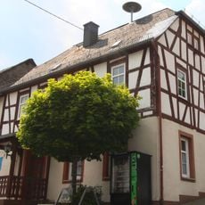
Altes Rathaus
10 m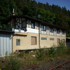
Ehemalige Lokomotivhalle
1.9 km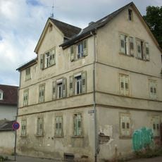
Ehemaliges lutherisches Pfarrhaus
2.4 km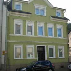
Zweigeschossiges verputztes Wohnhaus
2.5 km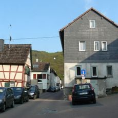
Taunusstraße 1, 2-8 (Südseite), 5-13, 19 (Nordseite)
1.6 km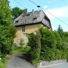
Ehemalige Volksschule
1.8 km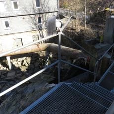
Ehemalige Damm-Mühle
1.7 km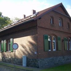
Ehemalige Bahnmeisterei
1.8 km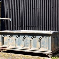
Brunnen
20 m
Symmetrischer Backsteinbau
2.1 kmVisited this place? Tap the stars to rate it and share your experience / photos with the community! Try now! You can cancel it anytime.
Discover hidden gems everywhere you go!
From secret cafés to breathtaking viewpoints, skip the crowded tourist spots and find places that match your style. Our app makes it easy with voice search, smart filtering, route optimization, and insider tips from travelers worldwide. Download now for the complete mobile experience.

A unique approach to discovering new places❞
— Le Figaro
All the places worth exploring❞
— France Info
A tailor-made excursion in just a few clicks❞
— 20 Minutes