Brombach, Administrative territory in Schmitten im Taunus, Germany.
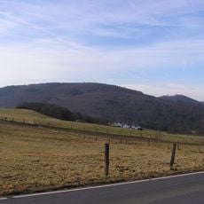
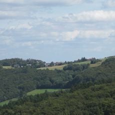
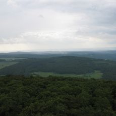
Brombach is a cadastral district within Schmitten im Taunus, situated at roughly 400 meters elevation in the Taunus hills. The territory is subdivided into individual land parcels that are recorded in the local land registry.
The district was formally established as a cadastral unit during the 19th century land reforms in German states. The systematic mapping and registration of properties shaped the current division of the land.
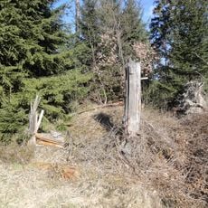
The district maintains traditional German land management practices, with parcels divided according to historical agricultural and residential patterns.
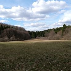
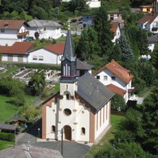
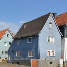
The district is an administrative unit with no specific public facilities or attractions for visitors. It consists mainly of residential areas, fields, and forests that are best explored on foot using local walking paths.
The district's elevation and position in the Taunus mountains creates specific microclimatic conditions that influence local land use patterns.
The community of curious travelers
AroundUs brings together thousands of curated places, local tips, and hidden gems, enriched daily by 60,000 contributors worldwide.