Chest opened
+${chestReward.xp} XP
Explorer
NOUVEAU ×${chestReward.collectible.quantity}
tapez pour fermer

See the monuments around you in AR Open chests in the app

Around Us is built for your phone — point your camera at the streets and discover the monuments and places around you in augmented reality. Around Us is built for your phone — chests unlock when you walk, explore and capture nearby places.

•

Enable Location

We need your location to show you interesting places around you

Discover nearby places

Find interesting locations and hidden gems around you

Precise directions

Get accurate directions and distances to places

Your location is never shared with other users. It's only used when you tap the location button.

Borsberg

Log in to your account

Start exploring — it's free

Trusted by 94,523 travelers worldwide

Continue with Google
Continue with Apple
or

We will send you a code to connect

By continuing, you accept our Terms and Conditions and our Privacy Policy

Check your inbox

We've sent a pincode in your inbox. Please enter the code below.

Borsberg

Borsberg, Summit in Schönfeld-Weißig, Dresden, Germany

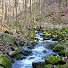
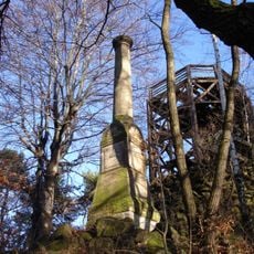
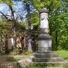
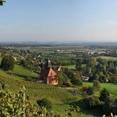
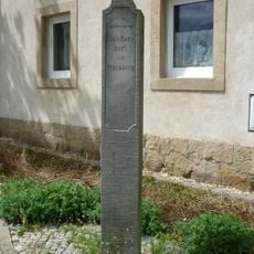
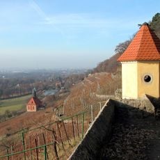
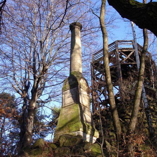
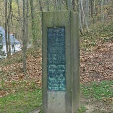
Borsberg rises to 361 meters and is the second highest point in Dresden, marking the southern end of the Loschwitz-Pillnitzer hillside. A sandstone column from 1865 crowns the summit, and dense forests surround the peak.

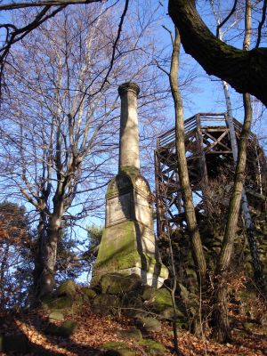
Elector Friedrich August III had a footpath laid out around 1780 through the Friedrichsgrund via the Meixmühle to the Borsberg. In 1775 Count Marcolini created an artificial rock grotto on the summit for the Elector, called the Eremitage, later fitted with Empire furniture and a fireplace. In October 1865 the Porsberg triangulation column was erected west of the grotto: a 5.9 m sandstone pillar on a 2.8 m base, station No. 7 of the Royal Saxon survey under Christian August Nagel. The wooden observation tower on the Eremitage was demolished in 2011.

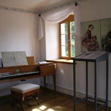
The summit grotto, called the Eremitage, was laid out in 1775 by Count Marcolini for Elector Friedrich August III. It held a single octagonal room, first with rustic wooden furniture, later with Empire pieces, a fireplace and a mirror. A wooden lookout tower added in the mid-19th century was maintained by the Saxon court building office until 1897 and demolished in 2011.

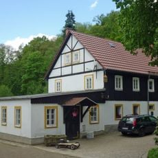
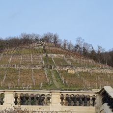
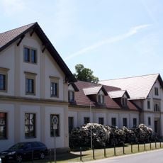
The summit is reached on footpaths from Graupa at the foot of the hill and from the village of Borsberg, which climbs to the summit area. Marked trails also link the peak with Pillnitz Castle and the Meixmühle in the Friedrichsgrund. The southern slopes toward the Elbe valley have been protected since 1961.

The summit column is Station No. 7 of the Royal Saxon triangulation network, erected in October 1865 under Christian August Nagel and tied to the Central European arc measurement. Its inscription reads "Station Porsberg der Mitteleuropäischen Gradmessung 1865"; it was restored in 2003 for Nagel's centenary.

The community of curious travelers

AroundUs brings together thousands of curated places, local tips, and hidden gems, enriched daily by 94,523 contributors worldwide.
Start exploring
GPS coordinates
51.01273,13.90355
Latest update
October 29, 2026 09:14
Reviews
Share your experience

No review yet

Discussions
Start a discussion...

No discussion yet

« Borsberg - Summit in Schönfeld-Weißig, Dresden, Germany » is provided by Around Us (aroundus.com). Images and texts are derived from Wikimedia project under a Creative Commons license. You are allowed to copy, distribute, and modify copies of this page, under the conditions set by the license, as long as this note is clearly visible.

Discover hidden gems everywhere you go!

From secret cafés to breathtaking viewpoints, skip the crowded tourist spots and find places that match your style. Our app makes it easy with voice search, smart filtering, route optimization, and insider tips from travelers worldwide. Download now for the complete mobile experience.
Around Us App Screenshot
❝

A unique approach to discovering new places❞

— Le Figaro

❝

All the places worth exploring❞

— France Info

❝

A tailor-made excursion in just a few clicks❞

— 20 Minutes

Around Us
Travel Guide & Maps
Download

Send to your phone

QR Code
1

Open the camera app on your mobile.

2

Point at the QR code with your camera. A notification will appear.

3

Tap the notification to open the link.