
Unterneukirchen, municipality of Germany
Location: Altötting
Elevation above the sea: 463 m
Part of:
Shares border with: Burgkirchen an der Alz, Kastl
Website: https://unterneukirchen.de
GPS coordinates: 48.16514,12.61869
Latest update: March 3, 2025 18:42
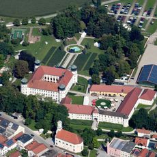
Schloss Tüßling
5.6 km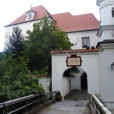
Schloss Wald an der Alz
4.9 km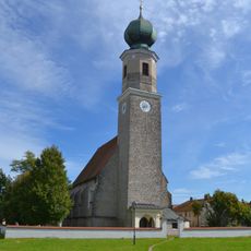
Wallfahrtskirche Unschuldige Kinder in Heiligenstatt
5.5 km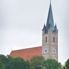
Pfarrkirche St. Rupertus, Burgkirchen am Wald
5 km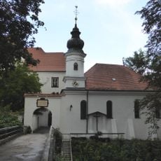
Schlosskapelle Wald an der Alz
4.9 km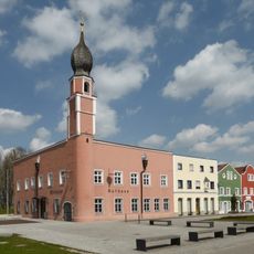
Rathaus (Tüßling)
5.5 km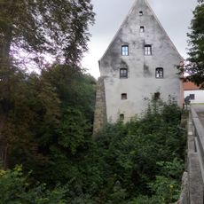
Pfleghaus Wald an der Alz
5 km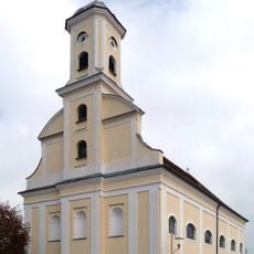
St. Georg
5.5 km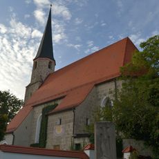
Katholische Filialkirche St. Stephan
3.3 km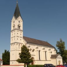
St. Nikolaus
3.9 km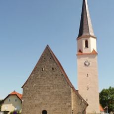
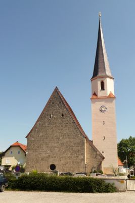
St. Johannes Evangelist und Ägidius
67 m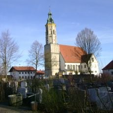
St. Maria Himmelfahrt
3.9 km
Mörmoosen
4.2 km
Kapelle
5.5 km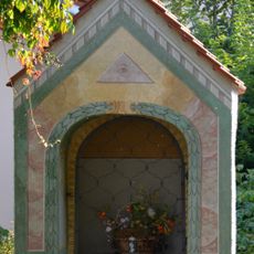
Kapelle
5.3 km
Geologische Orgeln Oberschroffen
2.4 km
Bauernhaus Vormarktstraße 3 Tüßling
5.5 km
Ehemaliges Mesnerhaus
5.5 km
Bundwerkstadel am Kirchberg Mörmoosen
4.2 km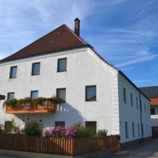
Ehemalige Hammerschmiede, jetzt Wohnhaus
5.2 km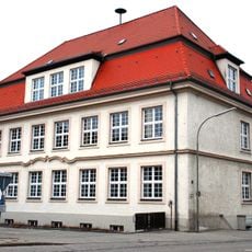
Schulhaus
4.7 km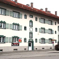
Mietshaus
4.7 km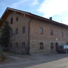
Elisabethstraße 41 Tüßling
5.3 km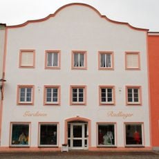
Wohn- und Geschäftshaus
5.4 km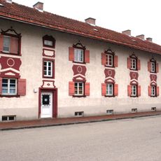
Mietshaus
4.6 km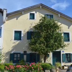
Wohnhaus
5.5 km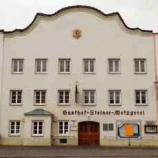
Gasthof und Metzgerei
5.4 km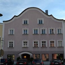
Wohn- und Geschäftshaus
5.4 kmVisited this place? Tap the stars to rate it and share your experience / photos with the community! Try now! You can cancel it anytime.
Discover hidden gems everywhere you go!
From secret cafés to breathtaking viewpoints, skip the crowded tourist spots and find places that match your style. Our app makes it easy with voice search, smart filtering, route optimization, and insider tips from travelers worldwide. Download now for the complete mobile experience.

A unique approach to discovering new places❞
— Le Figaro
All the places worth exploring❞
— France Info
A tailor-made excursion in just a few clicks❞
— 20 Minutes