Enable Location

We need your location to show you interesting places around you

Discover nearby places

Find interesting locations and hidden gems around you

Precise directions

Get accurate directions and distances to places

Your location is never shared with other users. It's only used when you tap the location button.

Altötting county

Log in to your account

Start exploring — it's free

Trusted by 61,645 travelers worldwide

Continue with Google
Continue with Apple
or

We will send you a code to connect

By continuing, you accept our Terms and Conditions and our Privacy Policy

Check your inbox

We've sent a pincode in your inbox. Please enter the code below.

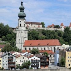
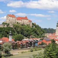
Altötting county, Administrative district in Upper Bavaria, Germany.

Description

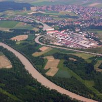
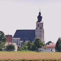
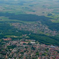
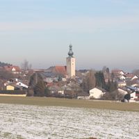
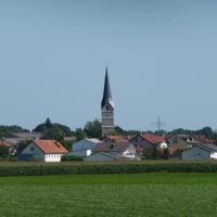
Altötting county is an administrative district in Upper Bavaria that stretches along the Austrian border and is shaped by rivers including the Inn, Alz, and Salzach. The territory encompasses multiple towns and smaller communities scattered throughout this forested and river-crossed landscape.

History

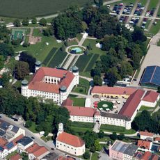
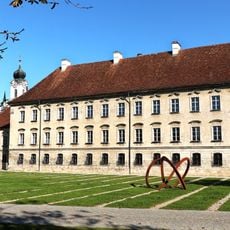
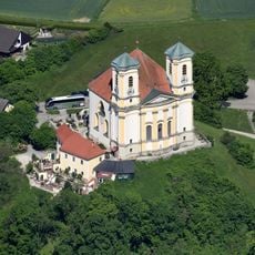
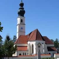
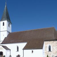
This area became a religious center in the 9th century through the Chapel of Grace, which drew pilgrims and shaped the region's development. The early church influence established a foundation that continues to resonate in the area's character today.

Culture

The Chapel of Grace draws pilgrims from across the region and holds deep meaning in the daily lives of local people. This pilgrimage site shapes the religious identity of residents and remains central to how communities here understand themselves.

Practical

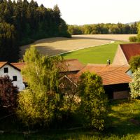
The district is easily accessible by car or public transport, with parking available in town centers. Those exploring the region will find good walking and cycling trails along the rivers and through the forests.

Did you know?

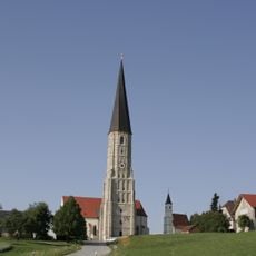
Beneath the altar of the Chapel of Grace rest the hearts of important Bavarian rulers, including the king who built the famous Neuschwanstein Castle. This quiet resting place remains unknown to many visitors, despite sitting in a location of great reverence.

Location
Inception
July 1, 1862
Capital city
Altötting
Elevation above the sea
436 m
Shares border with
Traunstein, Mühldorf, Rottal-Inn, Braunau District
GPS coordinates
48.25000,12.75000
Latest update
December 19, 2025 23:55

AroundUs brings together thousands of curated places, local tips, and hidden gems, enriched daily by 60,000 contributors worldwide. Discover all places nearby (Upper Bavaria).

« Altötting county - Administrative district in Upper Bavaria, Germany » is provided by Around Us (aroundus.com). Images and texts are derived from Wikimedia project under a Creative Commons license. You are allowed to copy, distribute, and modify copies of this page, under the conditions set by the license, as long as this note is clearly visible.

Discover hidden gems everywhere you go!

From secret cafés to breathtaking viewpoints, skip the crowded tourist spots and find places that match your style. Our app makes it easy with voice search, smart filtering, route optimization, and insider tips from travelers worldwide. Download now for the complete mobile experience.

Around Us App Screenshot

A unique approach to discovering new places

Le Figaro

All the places worth exploring

France Info

A tailor-made excursion in just a few clicks

20 Minutes

Around Us
Travel Guide & Maps
Download

Send to your phone

QR Code
1

Open the camera app on your mobile.

2

Point at the QR code with your camera. A notification will appear.

3

Tap the notification to open the link.