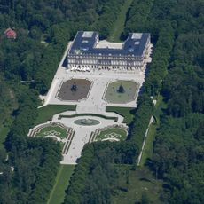
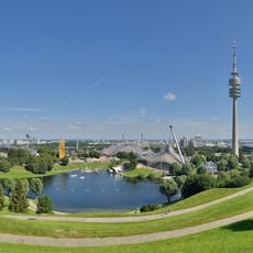
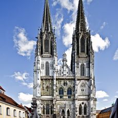
Upper Bavaria, Administrative region in Bavaria, Germany
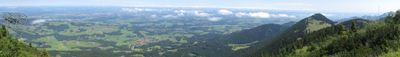
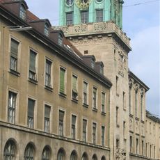
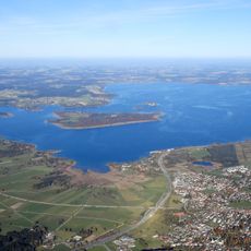
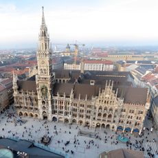
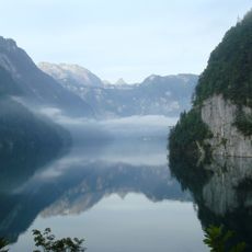
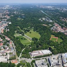
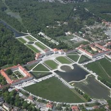
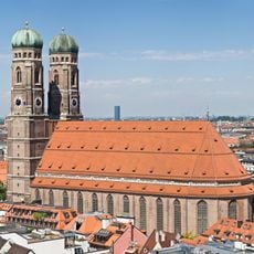
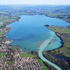
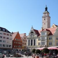
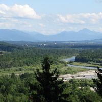
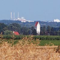
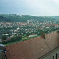
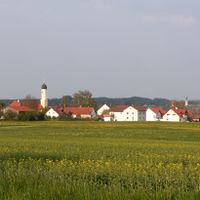
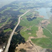
This administrative district occupies the southeastern corner of Germany, with Munich serving as its governmental and economic center. The landscape ranges from alpine valleys and mountain lakes in the south to rolling hills and woodlands in the northern foothills.
The district was created in 1808 under King Maximilian I Joseph as part of reforms that reorganized Bavaria along French administrative models. Its borders shifted several times before taking their current form during the 20th century.
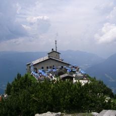
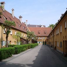
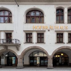
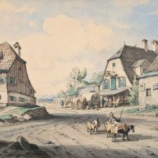
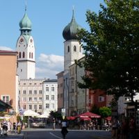
The name refers to the region's position upstream along the Donau and the old division of the duchy. Visitors today find tracht clothing worn during local festivals and see beer gardens under chestnut trees where neighbors meet after work.
Visitors reach the area through Munich airport or via highways and rail lines that connect all major towns. The southern valleys often see heavy snow in winter, while the northern zones remain accessible throughout the year.
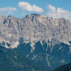
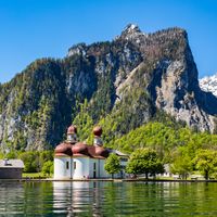
The territory includes Germany's highest summit, the Zugspitze, rising 2,962 meters (9,718 feet) near the Austrian border. On clear days from the platform at the top, you can see Austria, Italy, Switzerland and far into the Bavarian lowlands.
The community of curious travelers
AroundUs brings together thousands of curated places, local tips, and hidden gems, enriched daily by 60,000 contributors worldwide.