Miesbach, Administrative district in Upper Bavaria, Germany
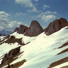
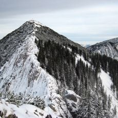
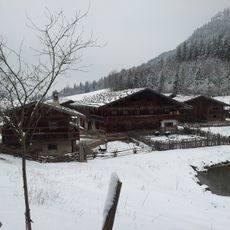
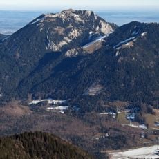
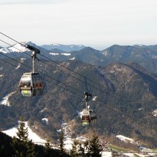
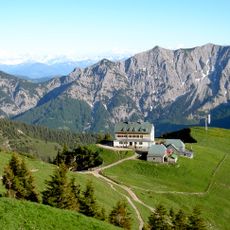
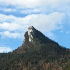
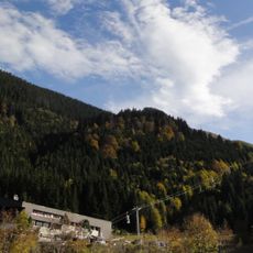
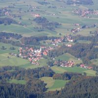
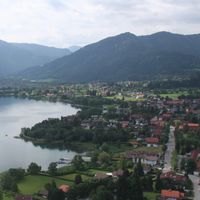
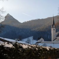
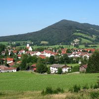
Miesbach is an administrative district in Upper Bavaria stretching between Munich and the Austrian border, covering parts of the Bavarian Alps and the Mangfall Mountains. The area spans roughly 864 square kilometers (334 square miles) and includes several towns across alpine terrain and gentler lowlands.
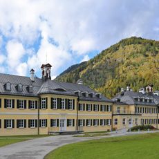
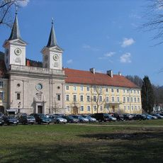
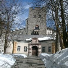
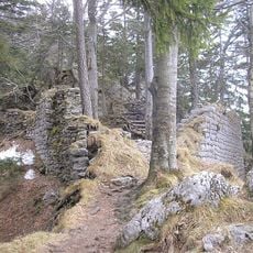
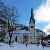
The area became an administrative unit in 1803 after territories previously held by religious authorities were reorganized following secularization. The former county of Hohenwaldeck and the abbeys of Tegernsee, Weyarn, and Valley were brought under Bavarian administration at that time.
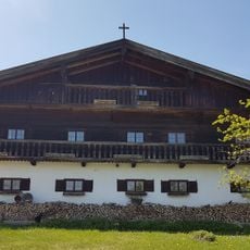
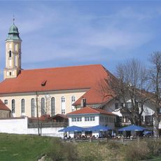
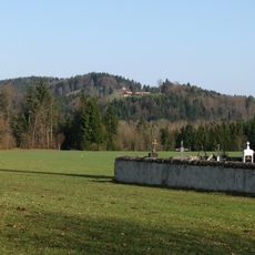
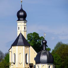
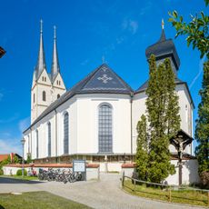
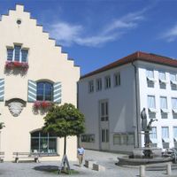
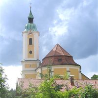
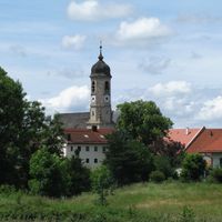
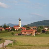
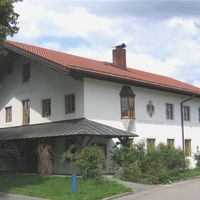
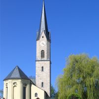
The 17 towns and villages in the area carry on old customs like wearing traditional dress at local festivals and gathering in inns where folk music is still part of the evening. Houses often follow the regional style with painted woodwork and carved balconies, giving neighborhoods their Alpine character.
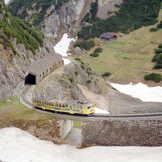
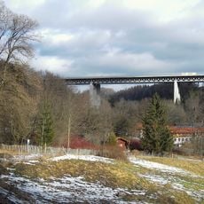
Regular train services and well-kept roads link the area to Munich, making it easy to reach for short visits or longer stays. The towns sit at different elevations, so it helps to check weather conditions depending on where you plan to go.
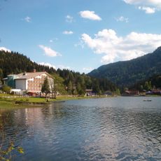
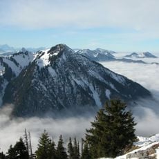
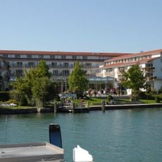
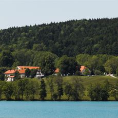
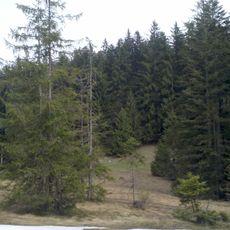
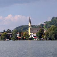
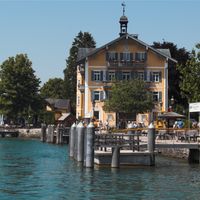
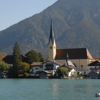
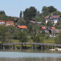
Two larger lakes, Tegernsee and Schliersee, lie within the district and serve as popular recreation areas as well as the source region for the River Mangfall. The mountain landscape around the lakes offers different scenes, from forested slopes to open meadows.
The community of curious travelers
AroundUs brings together thousands of curated places, local tips, and hidden gems, enriched daily by 60,000 contributors worldwide.