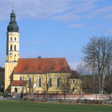
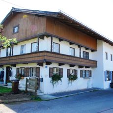
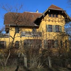
Otterfing, Municipality in Miesbach district, Bavaria, Germany.
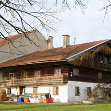
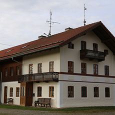
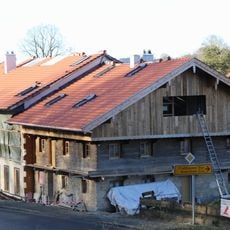
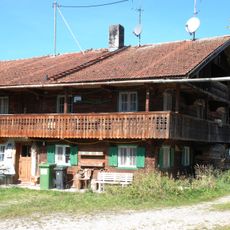
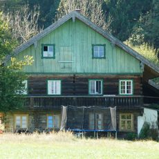
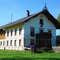
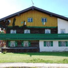
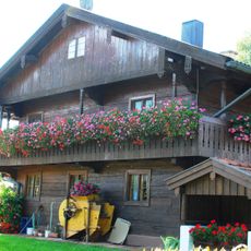
Otterfing is a municipality in Miesbach district, Bavaria, situated across rolling end moraine hills that face the Mangfall Mountains. The area spans roughly 18 square kilometers at an elevation around 675 meters above sea level.
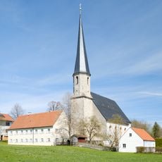
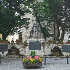
Archaeological evidence points to Celtic settlements in the area, with Otterfing first documented in records from 1003. The municipality remained part of Wolfratshausen district until 1972, when administrative boundaries shifted to place it under Miesbach.
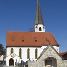
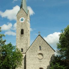
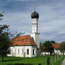
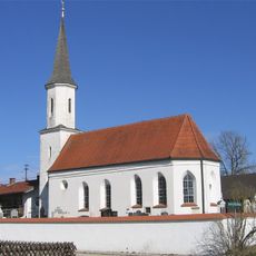
The coat of arms features three golden crowns inherited from Tegernsee monastery, reflecting a lasting bond between the community and religious traditions. These symbols appear throughout the village and serve as visible reminders of deep historical ties to the region.
The area connects easily to Munich via the S3 S-Bahn line and the Munich-Holzkirchen railway, making day trips from the city straightforward. The hilly terrain makes for good walking routes through countryside and toward the foothills of the Mangfall Mountains.
The position on end moraine terrain attracts geology enthusiasts who study traces left by ice age glaciers in the landscape. Visitors interested in earth sciences can observe how ancient glacial movements shaped the hills they walk through today.
The community of curious travelers
AroundUs brings together thousands of curated places, local tips, and hidden gems, enriched daily by 60,000 contributors worldwide.