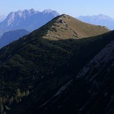
Hinteres Sonnwendjoch, Mountain summit in Thiersee, Austria
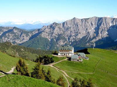
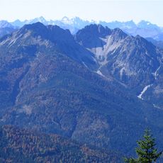
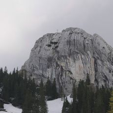
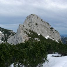
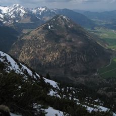
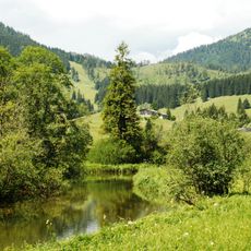
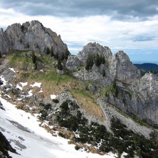
Hinteres Sonnwendjoch is the highest summit of the Mangfall range, located in the Bavarian Prealps near Thiersee in Austria. The northern face drops steeply, while the southern slopes are made of plattenkalk, and the main summit area is shaped by dolomite rock.
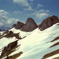
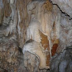
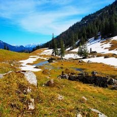
The mountain formed during the late Carnian-Norian period of the Triassic era, when layers of dolomite and limestone built up to create the structure seen today. These rock layers are still visible across the slopes and at the summit.
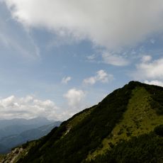
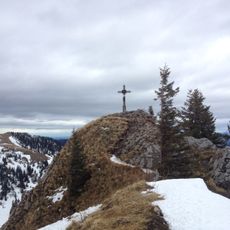
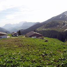
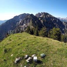
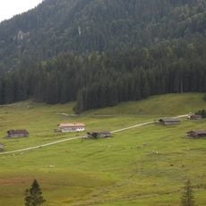
The Sonnwendjoch sits on the border between Austria and Bavaria, and its trails are regularly walked by hikers from both sides. The route from Ackernalm is the most traveled, drawing a steady flow of visitors on weekends.
The most common starting point is Ackernalm, reached by a toll road from either Bayrischzell or Kufstein. The trail crosses open terrain with steeper sections near the top, so sturdy footwear is recommended.
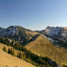
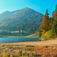
Although the summit sits on Austrian territory, its name is just as familiar on the Bavarian side, reflecting the long-shared connection between the two regions. The name Sonnwendjoch refers to the solstice, suggesting the peak was once used as a reference point for observing the sun's position.
The community of curious travelers
AroundUs brings together thousands of curated places, local tips, and hidden gems, enriched daily by 60,000 contributors worldwide.