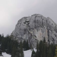
Hochmiesing, Monumental cross mountain peak in Mangfall Mountains, Germany
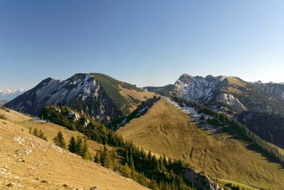
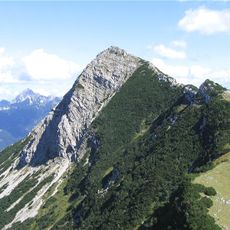
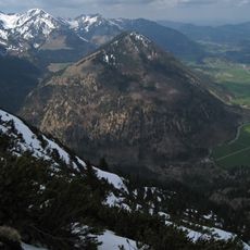
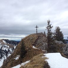
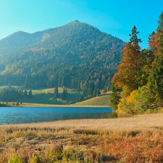
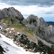
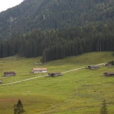
Hochmiesing is a prominent mountain peak in the Mangfall Range with a distinctive shape, offering expansive views across surrounding valleys and neighboring peaks. A large cross stands at the summit, visible from various locations throughout the region.
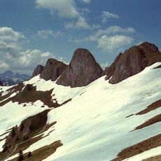
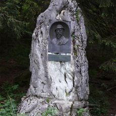
The mountain became a popular destination for regional mountaineers during the 19th century, who established multiple routes to the peak. The distinctive cross at the summit originated from this period of growing climbing activity.
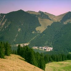
The peak's name comes from its distinctive shape and position within the local geography. It serves as a meeting point for hikers and climbers, especially on clear weekends when groups gather there.
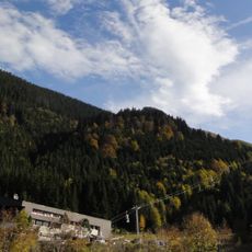
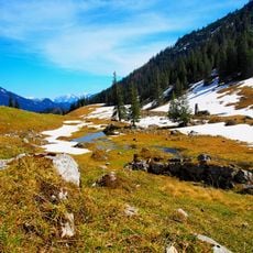
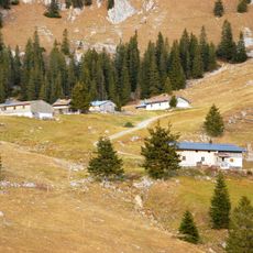
The mountain is accessible via marked trails from several starting points, with the most direct route beginning near the Soinsee parking area. Visitors should allow adequate time for the climb and wear good hiking shoes, as trail difficulty varies with weather conditions.
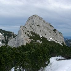
The name contains 'Miesing', a term that appears in several nearby mountain names and reflects the region's ancient naming traditions. This connection shows how historical place names have persisted across the landscape.
The community of curious travelers
AroundUs brings together thousands of curated places, local tips, and hidden gems, enriched daily by 60,000 contributors worldwide.