Enable Location

We need your location to show you interesting places around you

Discover nearby places

Find interesting locations and hidden gems around you

Precise directions

Get accurate directions and distances to places

Your location is never shared with other users. It's only used when you tap the location button.

Jägerkamp

Log in to your account

Start exploring — it's free

Trusted by 63,637 travelers worldwide

Continue with Google
Continue with Apple
or

We will send you a code to connect

By continuing, you accept our Terms and Conditions and our Privacy Policy

Check your inbox

We've sent a pincode in your inbox. Please enter the code below.

Jägerkamp
Discussion Reviews 1 Photos
2.2k Popularity

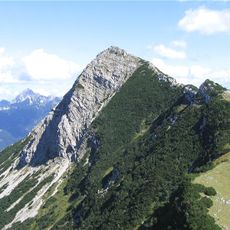
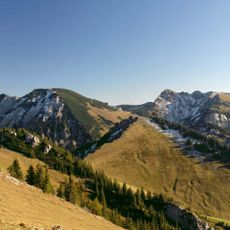
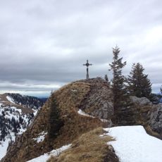
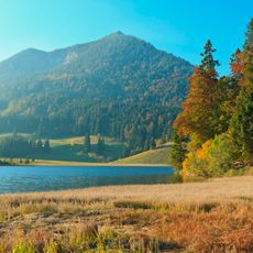
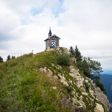
Jägerkamp, Summit in Mangfallgebirge range, Bavaria, Germany

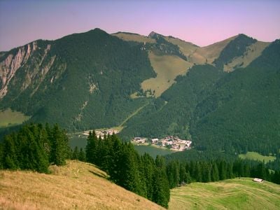
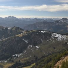
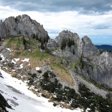
Jägerkamp rises to 1746 meters in the Mangfallgebirge and combines rocky sections with forested passages. The path leads through the Bavarian Prealps to a clear summit point with views across the surrounding landscape.

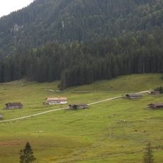
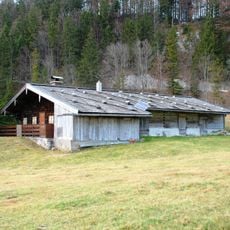
The paths around Jägerkamp developed from traditional cattle driving routes that have connected valleys with high pastures for centuries. These herding trails shaped the region and reflect the long history of Alpine farming.

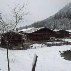
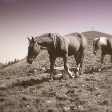
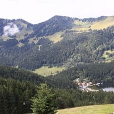
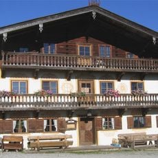
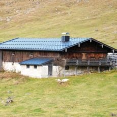
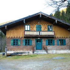
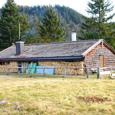
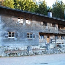
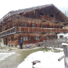
The Jägerbauernalm at 1540 meters demonstrates traditional Alpine farming still practiced without electricity today. Visitors can observe how milk and cheese are made by hand, following methods passed down through generations.

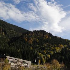
The ascent starts from Spitzingstraße and requires good footing on rocky sections, especially in spring and fall when moisture can make the path slippery. Sturdy shoes and a jacket are important since weather at altitude can change quickly.

The area around Jägerbauernalm closes completely from December to March to protect deer and other wildlife during their most challenging season. Access to this part is therefore only possible during the warmer months.

The community of curious travelers

AroundUs brings together thousands of curated places, local tips, and hidden gems, enriched daily by 60,000 contributors worldwide.

Start exploring
Elevation above the sea
1,746 m
GPS coordinates
47.67351,11.90605
Latest update
December 13, 2025 12:41
Reviews
Share your experience

No review yet

Discussions
Start a discussion...

No discussion yet

« Jägerkamp - Summit in Mangfallgebirge range, Bavaria, Germany » is provided by Around Us (aroundus.com). Images and texts are derived from Wikimedia project under a Creative Commons license. You are allowed to copy, distribute, and modify copies of this page, under the conditions set by the license, as long as this note is clearly visible.

Discover hidden gems everywhere you go!

From secret cafés to breathtaking viewpoints, skip the crowded tourist spots and find places that match your style. Our app makes it easy with voice search, smart filtering, route optimization, and insider tips from travelers worldwide. Download now for the complete mobile experience.

Around Us App Screenshot

A unique approach to discovering new places

Le Figaro

All the places worth exploring

France Info

A tailor-made excursion in just a few clicks

20 Minutes

Around Us
Travel Guide & Maps
Download

Send to your phone

QR Code
1

Open the camera app on your mobile.

2

Point at the QR code with your camera. A notification will appear.

3

Tap the notification to open the link.