Brecherspitz, Mountain summit in the Bavarian Prealps, Bavaria, Germany
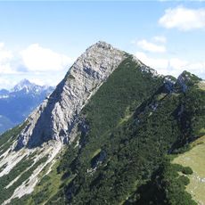
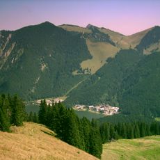
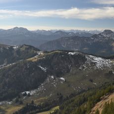
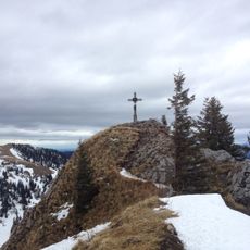
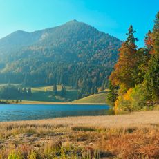
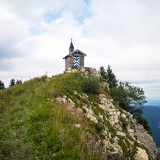
The Brecherspitz is a 1,684-metre pyramid-shaped summit in the Schliersee group of the Mangfall Mountains, about three kilometres south-southwest of Neuhaus am Schliersee. Its east ridge runs to the Spitzingsattel. The usual route from Neuhaus climbs 880 metres through the Dürnbachwald past the Anklalm to the north ridge in about 2.5 hours.
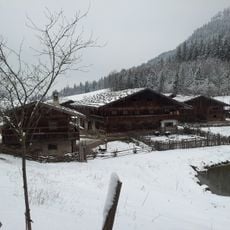
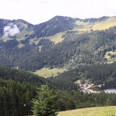
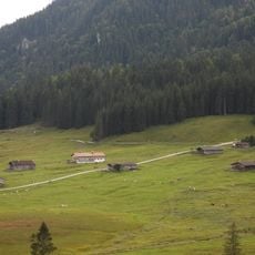
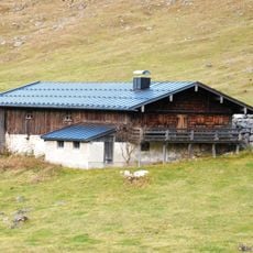
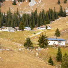
The area has been used for alpine farming and livestock herding for centuries, creating the open landscapes visible today. The mountain belongs to a group of peaks that have long been accessible to hikers from Munich.
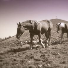
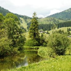
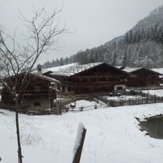
Local farmers use the mountain pastures to graze cattle and maintain the open landscape. Visitors can observe this working pastoral setting today with animals roaming the higher slopes.
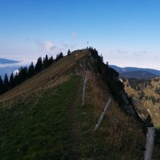
The usual ascent starts at Neuhaus am Schliersee, climbing 880 m through the Dürnbachwald past the Anklalm to the summit in about 2.5 hours. From the Spitzingsattel, the west ridge route via the Obere Firstalm takes around two hours and 560 m of climb, with a partly exposed path secured by ropes; sure-footedness and a head for heights are needed. The east ridge from the saddle is unmarked, steep and exposed, marked "Kein Abstieg – Lebensgefahr", and suits only experienced climbers.
The east ridge from Spitzingsattel is an unmarked, very steep path with short climbing sections of grade I and a highly exposed key passage; a sign warns "Kein Abstieg – Lebensgefahr" (no descent – mortal danger). It is not recommended for descent and requires alpine experience, sure-footedness and a head for heights.
The community of curious travelers
AroundUs brings together thousands of curated places, local tips, and hidden gems, enriched daily by 93,099 contributors worldwide.