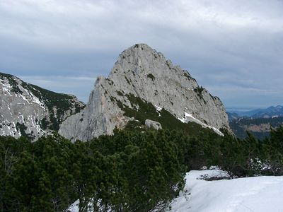
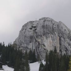
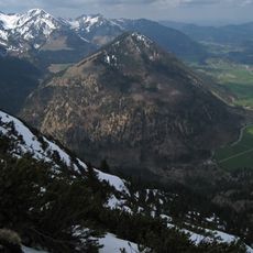
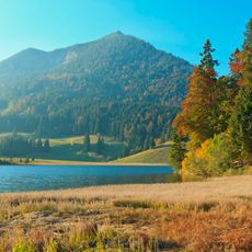
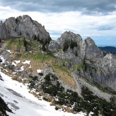
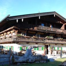
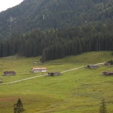
Ruchenköpfe, Mountain summit in Bavaria, Germany
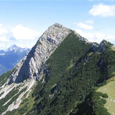
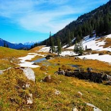
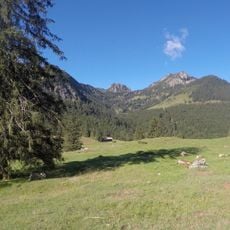
Ruchenkoepfe is a mountain summit in the Bavarian Pre-Alps with an elevation of about 1,800 meters and multiple climbing routes on its limestone rock faces and ridges. The mountain offers several ascent options with varying difficulty levels across its steep walls.
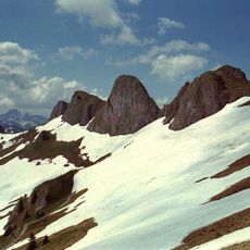
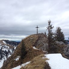
The summit gained recognition in the climbing community when mountaineers established the first documented routes on its western ridge in the early 20th century. These early ascents laid the foundation for how climbers use the mountain today.
Climbers here mark route names and difficulty grades in red paint at starting points to guide people through different passages. This tradition helps visitors find their way across the various climbing paths.
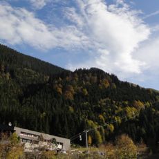
The Taubenstein cable car provides access to the lower slopes and shortens the approach significantly. A typical climbing day here takes several hours and requires basic climbing skills and proper equipment.
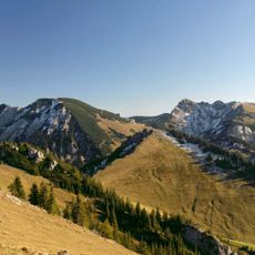
The south face contains numerous parallel climbing lines that stay less crowded and feature natural rock surfaces. These alternatives to the standard route offer a quieter climbing experience away from the main paths.
The community of curious travelers
AroundUs brings together thousands of curated places, local tips, and hidden gems, enriched daily by 60,000 contributors worldwide.