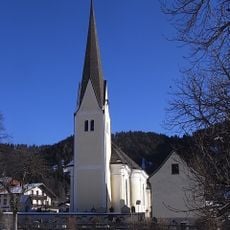
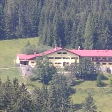
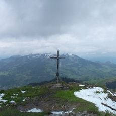
Seebergkopf, Alpine summit in Bavaria, Germany
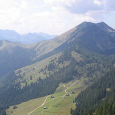
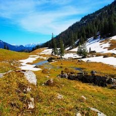
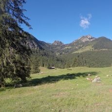
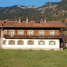
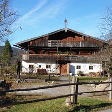
Seebergkopf is an Alpine peak in Bavaria that rises to approximately 1,500 meters and is crisscrossed by several well-marked hiking routes. These paths wind through meadows and forests of varying character, offering different lengths and difficulty levels depending on which trail you choose.
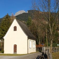
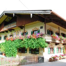
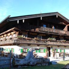
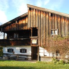
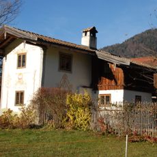
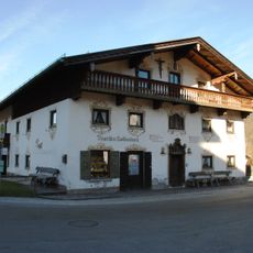
The mountain paths around Seebergkopf were established generations ago as practical routes for local trade and movement between Bavarian villages. Over time these traditional paths transformed into popular hiking destinations that drew visitors and shifted their role.
The mountain brings together hikers who share in regional Alpine traditions and outdoor practices. The walk to the summit connects visitors to how locals have long valued time spent in these landscapes.
The mountain is best reached from Bayrischzell by following any of several marked routes that start from different access points around the town. Depending on which path you take, expect varying demands on your time and fitness level.
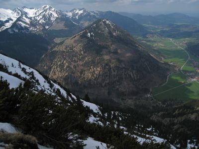
From the summit, visitors can see two well-known landmarks in the distance: Wendelstein mountain and Chiemsee lake, which together create a kind of geographical reference point. This view makes the location a vantage point between two other noted places in the region.
Location: Bavaria
Elevation above the sea: 1,538 m
GPS coordinates: 47.66436,11.99775
Latest update: December 14, 2025 18:00
Wendelstein Cable Car
3.5 km
Sudelfeld hill Pass road
3.3 km
Großer Traithen
3.6 km
St. Margareth
1.6 km
Larcheralm
3.1 km
Hofkapelle, sogenannte Mainwolfkapelle
1.9 km
Friedhofskapelle
1.6 km
Mariä Himmelfahrt
2.5 km
Wegkapelle
2.3 km
Rotwand
3.9 km
Rosenkranzkapelle
2 km
Schutz des Obersten Leitzachtales und seiner Umgebung bei Bayerischzell
2 km
Bauernhaus, sog. Beim Oberöstner
3.8 km
Bauernhaus, sog. Beim Wirtl
2.5 km
Landhaus, sog. Haus Thier
2.2 km
Bayrischzell station reception building
1.6 km
Jugendherberge Bayrischzell-Sudelfeld
3.3 km
Sudelfeldstraße 3
1.7 km
Bauernhaus, sog. Beim Hürmer
4 km
Stattliches Bauernhaus, sog. Beim Unteröstner, heute Hasenöhrl-Hof
3.8 km
Ehemaliges Kleinbauernhaus und Schmiede, sog. Schmiedhäusl
3.9 km
Austragshaus des Dicklhofes
2.4 km
Geitau 10
3.9 km
Kleiner Traithen
3 km
Inschriftentafel
1.6 km
Ehemaliges Bauernhaus , sog. Beim Dickl
2.5 km
Kruzifix
2.5 km
Wohnteil eines ehemaligen Bauernhauses, sog. Duneihof
3.9 kmVisited this place? Tap the stars to rate it and share your experience / photos with the community! Try now! You can cancel it anytime.
Discover hidden gems everywhere you go!
From secret cafés to breathtaking viewpoints, skip the crowded tourist spots and find places that match your style. Our app makes it easy with voice search, smart filtering, route optimization, and insider tips from travelers worldwide. Download now for the complete mobile experience.
A unique approach to discovering new places❞
— Le Figaro
All the places worth exploring❞
— France Info
A tailor-made excursion in just a few clicks❞
— 20 Minutes