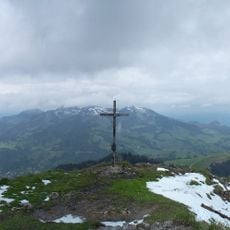
Großer Traithen, Alpine summit in Bavaria, Germany
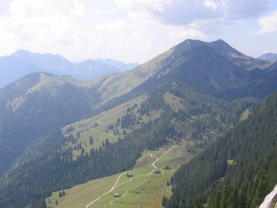
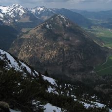
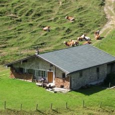
Grosser Traithen is a mountain summit in Bavaria reaching approximately 1850 meters, defined by steep limestone cliffs and expansive meadows. The rock faces display distinct geological layers characteristic of this Alpine region.
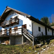
Mountain routes on Grosser Traithen were established in the late 1800s when members of the German Alpine Club mapped and opened paths to the summit. These early developments shaped the mountain's role as a climbing destination.
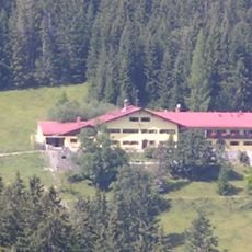
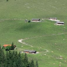
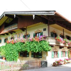
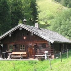
The summit draws climbers who practice traditional techniques rooted in Alpine culture and knowledge passed down through generations. The rock faces and meadows here serve as spaces where this hands-on mountain expertise remains visible to visiting hikers.
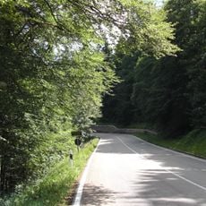
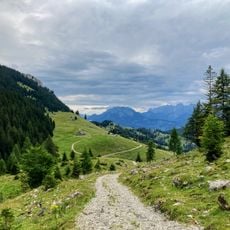
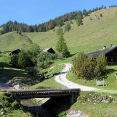
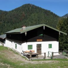
The climb takes about three hours on a marked trail beginning at Beim schweren Gatter, starting around 830 meters of elevation. Sturdy footwear and attention to changing weather conditions are recommended, especially during wet weather or later in the year.
The rock layers at the summit allow visitors to observe distinct geological development phases of the Alps across a small vertical distance. This vertical geological history makes the mountain a natural learning site for the curious.
The community of curious travelers
AroundUs brings together thousands of curated places, local tips, and hidden gems, enriched daily by 60,000 contributors worldwide.