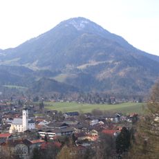
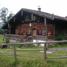
Wasserfall Tatzelwurm, Natural monument in Oberaudorf, Germany.
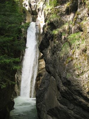
Tatzelwurm is a waterfall in the Auerbach valley near Oberaudorf that cascades in multiple stages through a narrow gorge, dropping about 95 meters total. Trees and rock walls frame the flowing water as it moves through the confined valley, creating a series of step-like formations.
The area received its name more than 750 years ago from an old story about a water creature believed to live in mountain streams. The name has persisted to modern times, showing how deeply local imagination was shaped by the flowing waters of this region.
The name draws from Bavarian folklore about the Tatzelwurm, a mythical water creature locals believed lived in mountain streams. The falls remain connected to regional identity, attracting visitors interested in how natural features inspire storytelling and legend in this area.
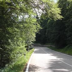
A marked hiking trail covers about 800 meters round trip to view both levels, with wooden bridges offering safe viewpoints along the way. The ground stays wet and rocks are slippery, so wear proper footwear and move carefully on the steps.
The water drops in several stages of roughly 10 meters each, which makes it different from a simple single waterfall and creates varied viewing angles during a visit. Each stage can be seen from different observation platforms, offering fresh perspectives on the same natural force.
The community of curious travelers
AroundUs brings together thousands of curated places, local tips, and hidden gems, enriched daily by 60,000 contributors worldwide.