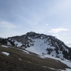
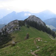
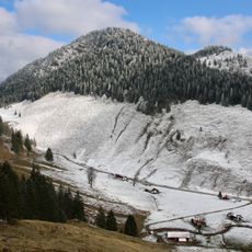
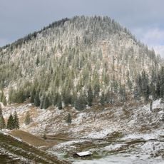
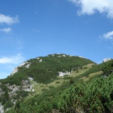
Jackelberg, Mountain summit in Bavarian Alps, Germany
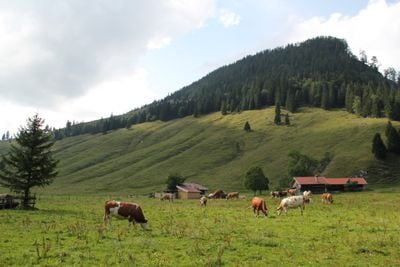
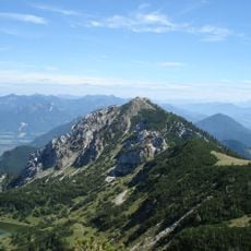
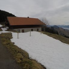
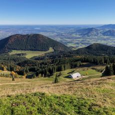
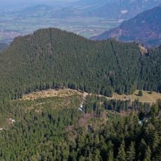
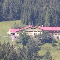
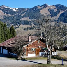
Jackelberg is a two-peaked mountain in the Bavarian Alps with a main summit at 1412 meters and a secondary peak at 1312 meters. A working Alpine pasture sits at 1135 meters on the slopes, alongside a mountain refuge built between 1961 and 1964 that serves hikers exploring the region.
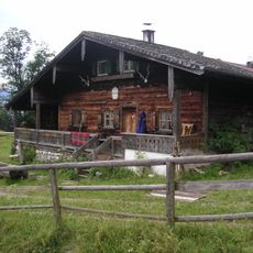
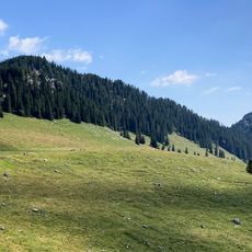
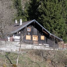
The slopes have long served Alpine communities as grazing land and mountain resources. A refuge was built in the 1960s to provide hikers with shelter during their mountain travels in this region.
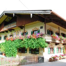
The mountain pasture here operates as a working dairy facility where traditional cheesemaking follows methods passed down through generations. The seasonal rhythms of the Alpine community shape how the landscape is used and maintained throughout the year.
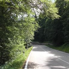
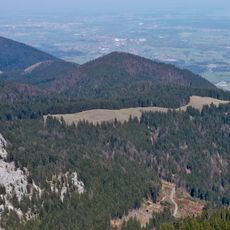
Access starts from Federal Road 307, where a service road leads toward the Alpine pasture and opens up several hiking trails. Come prepared for changing weather and wear sturdy shoes, as trail conditions vary with the seasons.
A waterfall cascades down the eastern side of the peak, dropping 30 meters as it carries the Arzbach stream through a narrow rocky gorge. Nearby sits an abandoned mine shaft, a quiet reminder of earlier extraction activities in these mountains.
The community of curious travelers
AroundUs brings together thousands of curated places, local tips, and hidden gems, enriched daily by 60,000 contributors worldwide.