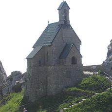
Soin, Mountain summit in Bavaria, Germany
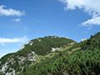
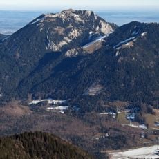
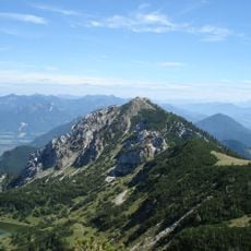
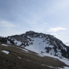
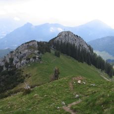
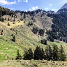
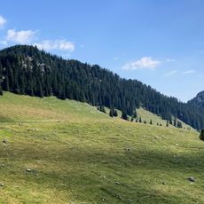
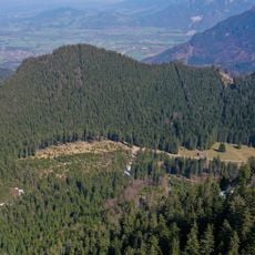
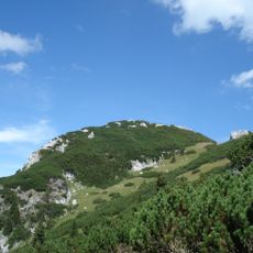
The Soin is a mountain summit in the Bavarian Alps reaching about 1750 meters (5740 feet) with steep slopes and exposed rock formations. Multiple hiking trails of varying difficulty lead to and around the peak, each offering different perspectives on the surrounding terrain.
The mountain sits in a region shaped during the 19th century when King Ludwig II commissioned several castles throughout the Bavarian Alps. This royal interest transformed the area's cultural importance and drew attention to its mountain landscape.
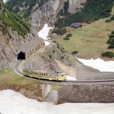
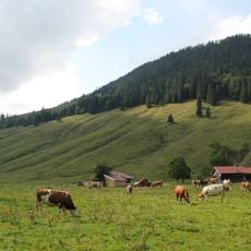
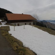
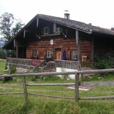
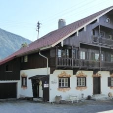
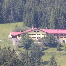
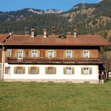
The area around the Soin has long been a gathering place for those who value mountain life and local traditions. Mountain huts nearby serve regional dishes and function as meeting points where hikers exchange stories and rest.
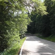
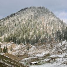
The best time to visit is during summer months when trails are accessible and conditions are stable across the mountain. Bring proper hiking gear and sturdy footwear, as the terrain demands preparation and respect for the altitude.
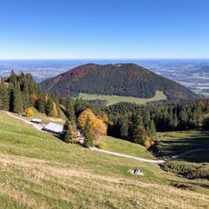
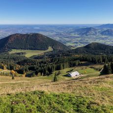
On clear days the summit reveals a sweeping view of multiple neighboring peaks and valleys stretching far into the distance. This panoramic perspective is what many hikers remember long after they leave the mountain.
The community of curious travelers
AroundUs brings together thousands of curated places, local tips, and hidden gems, enriched daily by 60,000 contributors worldwide.