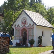
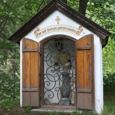
Thiersee, Administrative division in Tyrol, Austria
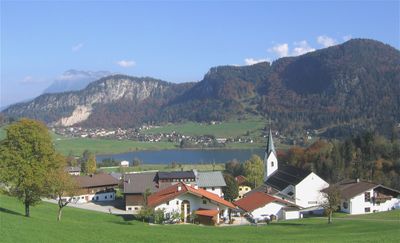
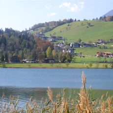
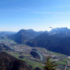
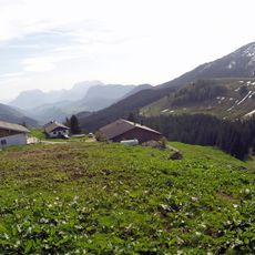
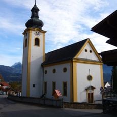
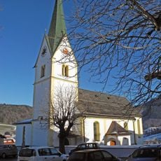
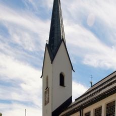
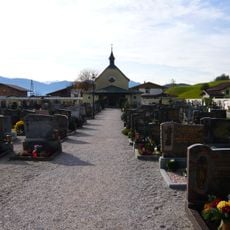
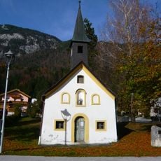
Thiersee is a rural municipality in the Kufstein District of Tyrol, encompassing several settlements spread across mountainous terrain at 619 meters elevation. The municipality includes communities like Hinterthiersee, Vorderthiersee, and smaller hamlets, each with its own character and local services.
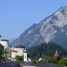
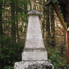
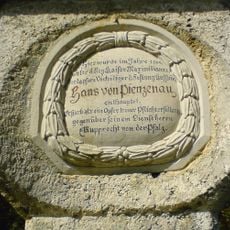
The territory first appeared in written records in 1224 and remained under Bavarian control until 1504. Its transition to Tyrolean governance marked a significant shift in the region's political identity.
The area served as a center for Austrian film production between 1946 and 1952, shaping the nation's cinema during that era. Today, traces of this cinematic past remain visible in how the community remembers and celebrates its creative heritage.
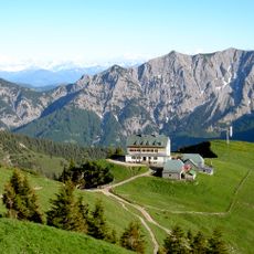
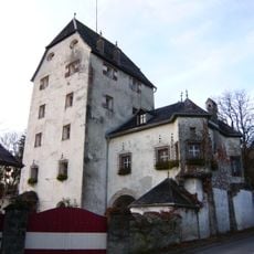
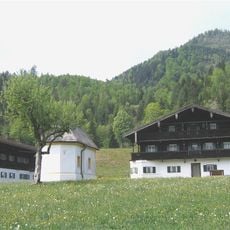
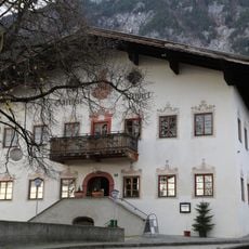
The municipal office located in Vorderthiersee handles essential administrative documents and services for residents. The region is most easily accessible during late spring through early autumn when mountain roads are clear and well-maintained.
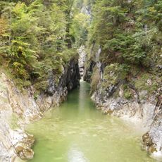
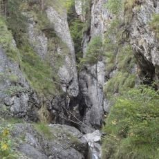
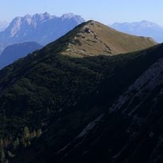
The municipality maintains a remarkably low population density of roughly 26 people per square kilometer, making it one of Tyrol's least populated administrative areas. This sparse settlement pattern has kept the landscape relatively open and wild, allowing visitors to experience the mountains in their natural state.
The community of curious travelers
AroundUs brings together thousands of curated places, local tips, and hidden gems, enriched daily by 60,000 contributors worldwide.