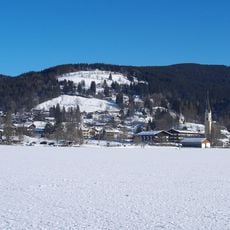
Schliersee, Market municipality in Miesbach district, Germany
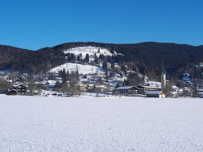
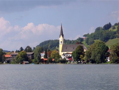
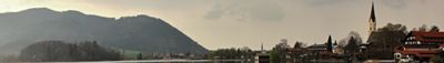
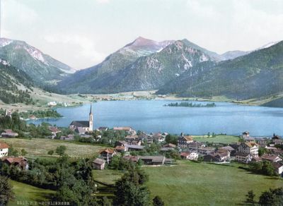
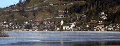
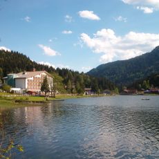
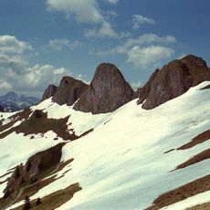
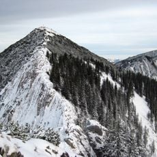
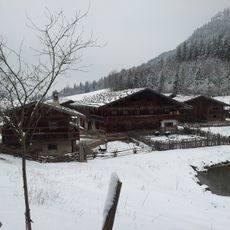
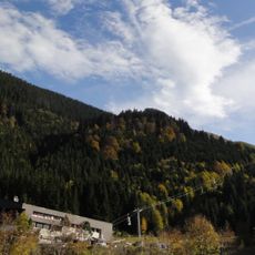
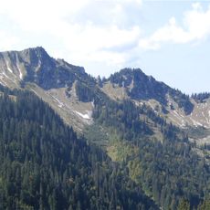
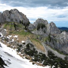
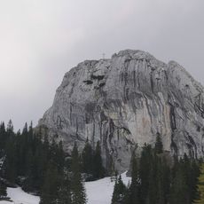
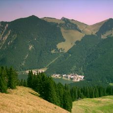
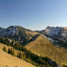
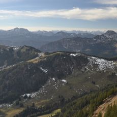
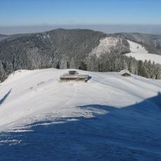
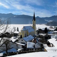
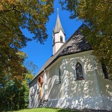
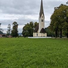
Schliersee is a municipality on the northeastern shore of Lake Schliersee at 784 meters elevation and stretches across six districts. The area covers 79 square kilometers with a mosaic of forests, lakes, and mountain slopes that shape the Alpine landscape.
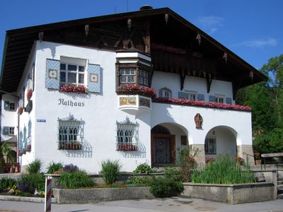
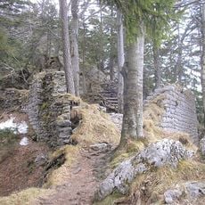
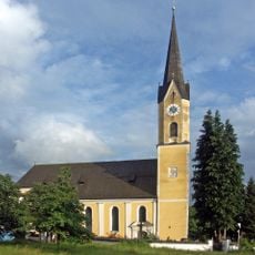
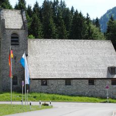
The settlement dates back to 779 when five brothers established a monastic cell that gave the area its beginning. In 1919 it received the status of a market municipality and has since developed into an independent administrative unit.
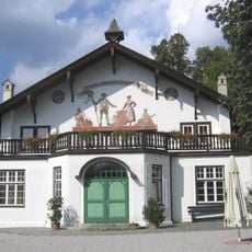
The village maintains an old farmers theatre dating to 1892 that still hosts performances and shapes local cultural life. Visitors can explore five centuries of rural history through local artifacts in the museum and understand how people lived here in earlier times.
The area connects well to Munich through its train station and the B307 road and offers easy access for visitors. Hikers can find trails, lake access, and nearby villages that enable exploration of the surrounding region.
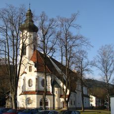
The area has notable religious diversity with a strong Catholic heritage, as 58 percent of residents follow this faith. At the same time, about 28 percent identify with other religious traditions or no religion, reflecting an open community.
The community of curious travelers
AroundUs brings together thousands of curated places, local tips, and hidden gems, enriched daily by 60,000 contributors worldwide.