·

Enable Location

We need your location to show you interesting places around you

Discover nearby places

Find interesting locations and hidden gems around you

Precise directions

Get accurate directions and distances to places

Your location is never shared with other users. It's only used when you tap the location button.

Log in to your account

Start exploring — it's free

Trusted by 62,646 travelers worldwide

Continue with Google
Continue with Apple
or

We will send you a code to connect

By continuing, you accept our Terms and Conditions and our Privacy Policy

Check your inbox

We've sent a pincode in your inbox. Please enter the code below.

Prinzenweg

Prinzenweg, Wanderweg in Oberbayern

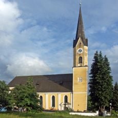
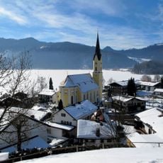
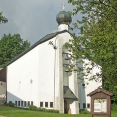
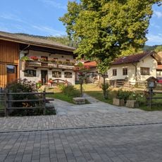
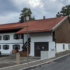
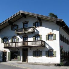
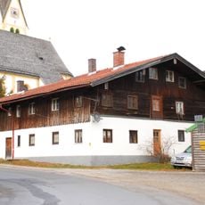
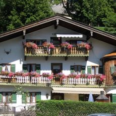
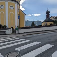
The Prinzenweg is a walking trail in Upper Bavaria that runs between Tegernsee and Schliersee lakes and spans approximately 14.6 kilometers (9 miles). The route passes through forests and meadows with gentle slopes and offers views of mountains and the surrounding landscape along the way.

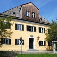
The trail originated in the 1800s and was named after Prince Carl of Bavaria, a royal family member of that era. A railway reached the nearby village of Breitenbach in 1869, which made the region more accessible to visitors and helped establish it as a walking destination.

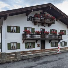
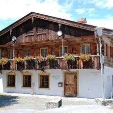
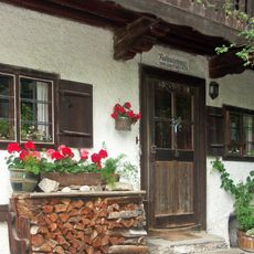
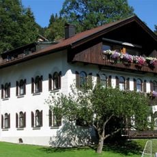
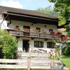
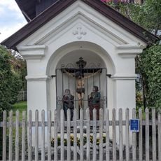
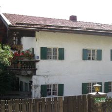
The path is named after Prince Carl of Bavaria from the 1800s and connects two well-known lakes in the region. Along the route, traditional mountain huts such as Kreuzbergalm and Gschwandbachalm offer visitors a chance to taste local food and chat with people who live and work in the mountains.

The trail is open for walkers throughout the year and takes about three to four hours to complete. Wear comfortable shoes, bring water, and be cautious in bad weather as the paths can become slippery.

On clear days, hikers at the highest point of the trail, Gindelalmschneid at 1,335 meters (4,380 feet), can see all the way to Munich about 55 kilometers (34 miles) away. This unexpected panorama offers a moment of vast perspective and shows how the gentle mountain landscape extends far into the distance.

The community of curious travelers

AroundUs brings together thousands of curated places, local tips, and hidden gems, enriched daily by 60,000 contributors worldwide.

Start exploring
Location
GPS coordinates
47.73563,11.86069
Latest update
February 9, 2026 07:43
« Prinzenweg - Wanderweg in Oberbayern » is provided by Around Us (aroundus.com). Images and texts are derived from Wikimedia project under a Creative Commons license. You are allowed to copy, distribute, and modify copies of this page, under the conditions set by the license, as long as this note is clearly visible.

Discover hidden gems everywhere you go!

From secret cafés to breathtaking viewpoints, skip the crowded tourist spots and find places that match your style. Our app makes it easy with voice search, smart filtering, route optimization, and insider tips from travelers worldwide. Download now for the complete mobile experience.

Around Us App Screenshot

A unique approach to discovering new places

Le Figaro

All the places worth exploring

France Info

A tailor-made excursion in just a few clicks

20 Minutes

Around Us
Travel Guide & Maps
Download

Send to your phone

QR Code
1

Open the camera app on your mobile.

2

Point at the QR code with your camera. A notification will appear.

3

Tap the notification to open the link.