Baumgartenschneid, Mountain summit in Bavaria, Germany
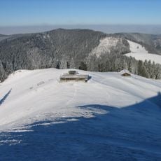
Baumgartenschneid is a mountain summit in the Bavarian Prealps, sitting east of Lake Tegernsee. A wooden summit cross marks the top, and the surrounding slopes are covered with mixed forest and alpine meadows that open up near the ridge.
The slopes around this summit were used by farmers and herdsmen who moved livestock between the Tegernsee valley and the higher alpine pastures. As hiking became popular in the late 19th century, local clubs began marking the routes that visitors still follow today.
The name "Baumgartenschneid" refers to an old term for a ridge bordering an orchard or garden area, a naming habit common in the Bavarian Alps. Hikers who stop at the summit cross can read the name carved into the wood, which connects them to this old local tradition.
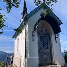
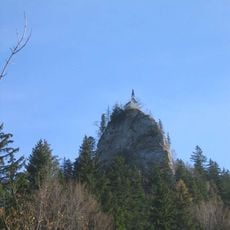
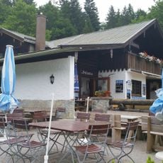
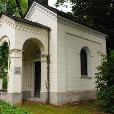
The usual ascent starts at Tegernsee, taking about two hours for the 700 metres of height gain, with 1.5 hours for the descent. The path passes Gasthaus Galaun at 1,060 m and the Riederstein rocks at 1,207 m, where a small chapel stands. From Schliersee, the route follows the Prinzenweg from the Hennerer Hof junction to the Saglfleckl shelter at 1,150 m. In winter the summit is often reachable without snowshoes, but crampons help when it is icy.
The summit cross looks straight down onto the Tegernsee, and on clear days Munich can be made out in the distance. The route from Schliersee branches off the Prinzenweg at the Hennerer Hof farm café and passes a climbers' shelter at the Saglfleckl, 1,150 m, before climbing through the Baumgarten-Alm meadows.
The community of curious travelers
AroundUs brings together thousands of curated places, local tips, and hidden gems, enriched daily by 93,594 contributors worldwide.