Taubenberg, Mountain summit in Warngau, Germany.
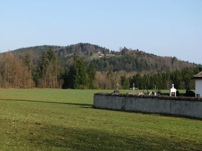
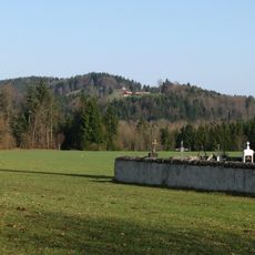
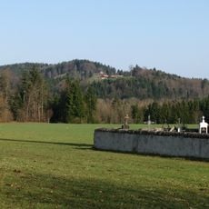
Taubenberg is a mountain summit in Bavaria's Miesbach district, reaching 896 meters and divided at its base by the Farnbach valley. It has a northern and a southern ridge that shape the terrain around the peak and open up different routes along the slopes.
This mountain took shape roughly 10 to 15 million years ago through debris flows from upper freshwater molasse during the Alpine orogeny. Those same geological forces left a lasting mark on the shape of the broader Bavarian foothills that surround it today.
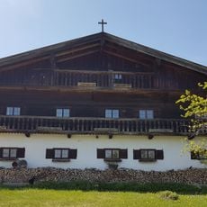
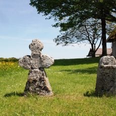
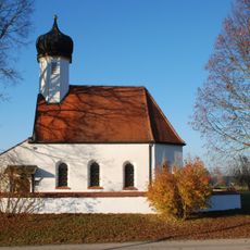
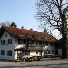
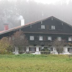
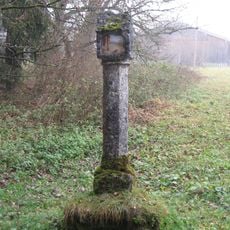
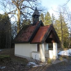
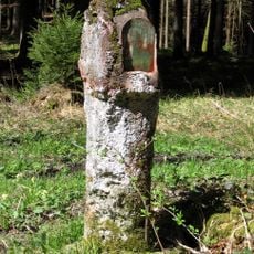
The trails on this mountain link several nearby villages and are used regularly by locals for weekend walks through the forested slopes. On quiet days, you are more likely to share the paths with residents from surrounding communities than with tourists from far away.
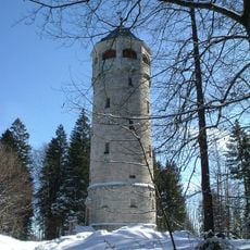
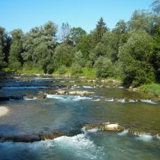
A large part of the mountain falls under Munich's administration and is used as a water catchment area, so some zones may be closed to visitors. The trails are open throughout the year and can be walked without any special equipment.
Despite being far from the city limits, much of Taubenberg's land legally belongs to Munich, making it one of the few mountains in Germany directly managed by a major city. This unusual arrangement dates back to Munich's need to protect its drinking water supply from the mountain's springs.
The community of curious travelers
AroundUs brings together thousands of curated places, local tips, and hidden gems, enriched daily by 60,000 contributors worldwide.