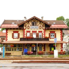
Gmund am Tegernsee, Lakeside municipality in Bavaria, Germany
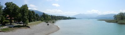
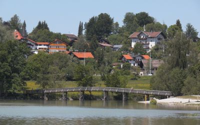
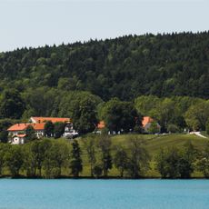
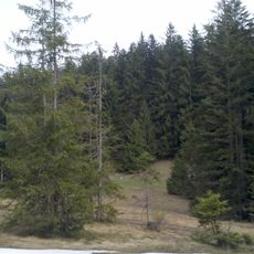
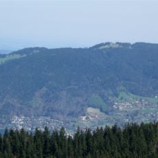
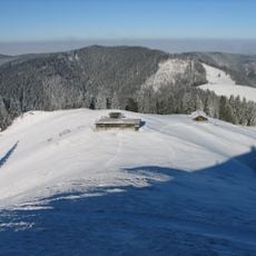
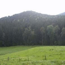
Gmund am Tegernsee is a municipality on the northern shore of Lake Tegernsee in the Miesbach district, situated at about 740 meters elevation between Alpine foothills and the water. The town spreads across rolling terrain with residential areas, forests, and an established paper factory that anchors the central zone.
The community developed through economic growth in the Tegernsee Valley, with the paper factory establishing itself as a major employer in the 1800s. The town gained wider recognition when Federal Chancellor Ludwig Erhard chose to be buried here, linking it to German political history.
The paper factory shaped the local community and remains intertwined with daily life here for generations of workers and their families. Many residents have deep connections to this enterprise, which defined the character of the place beyond just economics.
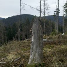
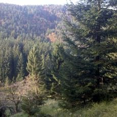
Visitors can reach the area easily by train from Munich on the Tegernsee-Bahn line, which runs regular service into town. The location works well as a day trip destination with walking paths around the lake and through nearby forests.
The paper factory organizes recreational activities for employees including curling and ski competitions as well as shooting tournaments. This long-standing company tradition reflects an unusual closeness between the enterprise and its workforce that extends beyond typical employment relationships.
The community of curious travelers
AroundUs brings together thousands of curated places, local tips, and hidden gems, enriched daily by 60,000 contributors worldwide.