Enable Location

We need your location to show you interesting places around you

Discover nearby places

Find interesting locations and hidden gems around you

Precise directions

Get accurate directions and distances to places

Your location is never shared with other users. It's only used when you tap the location button.

Irschenberg

Log in to your account

Start exploring — it's free

Trusted by 64,375 travelers worldwide

Continue with Google
Continue with Apple
or

We will send you a code to connect

By continuing, you accept our Terms and Conditions and our Privacy Policy

Check your inbox

We've sent a pincode in your inbox. Please enter the code below.

Discussion Reviews 1 Photos
15.6k Popularity

Irschenberg, municipality of Germany

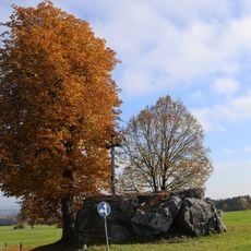
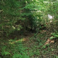
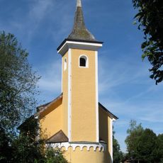
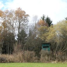
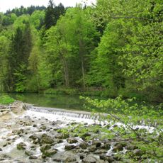
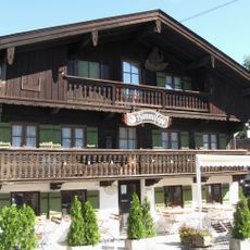
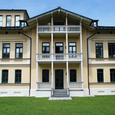
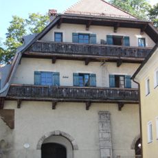
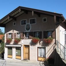
Irschenberg is a small municipality in Miesbach, Bavaria, situated on a hill visible from the roads passing through the area. The settlement consists of traditional homes, old farmsteads, and green fields surrounded by forests that define its rural character.

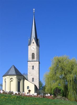
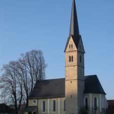
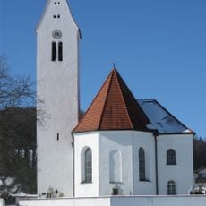
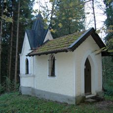
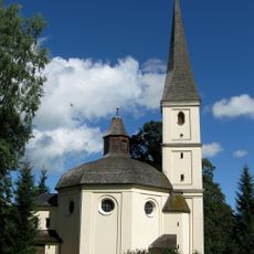
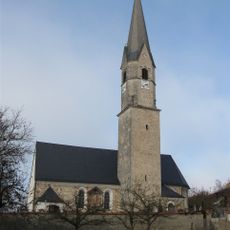
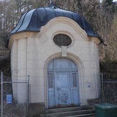
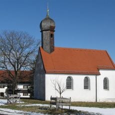
According to legend, Irish monk Marinus settled in the area around the year 697 and became a martyr, with his burial site marked by a pilgrimage church in Wilparting. The region was originally under the control of the Bishopric of Freising and later passed to the Lords of Hohenwaldeck before becoming part of Bavaria in 1734.

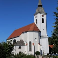
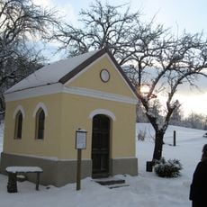
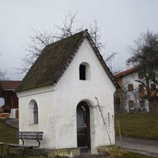
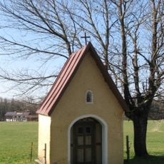
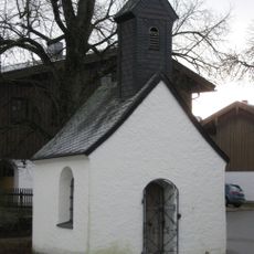
The settlement takes its name possibly from an old word meaning 'bear', linking to early local traditions. The church and village square remain gathering places where neighbors meet, and seasonal festivals like harvest celebrations keep community bonds strong and traditions alive.

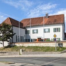
The location sits about 46 kilometers southeast of Munich and is easily reached via the Autobahn 8, which runs over the hill. Visitors can walk through the village easily and explore local streets, as the settlement is small and manageable.

Since 1951, a rest area and motel have operated on the hill where travelers between Munich and Salzburg stop to rest or eat. This highway waypoint has become a well-known stopover for passing visitors and blends business function with the quiet rural setting.

The community of curious travelers

AroundUs brings together thousands of curated places, local tips, and hidden gems, enriched daily by 60,000 contributors worldwide.

Start exploring
Location
Elevation above the sea
731 m
Shares border with
Miesbach, Weyarn
GPS coordinates
47.83333,11.91667
Latest update
February 19, 2026 23:40
Reviews
Share your experience

No review yet

Discussions
Start a discussion...

No discussion yet

« Irschenberg - municipality of Germany » is provided by Around Us (aroundus.com). Images and texts are derived from Wikimedia project under a Creative Commons license. You are allowed to copy, distribute, and modify copies of this page, under the conditions set by the license, as long as this note is clearly visible.

Discover hidden gems everywhere you go!

From secret cafés to breathtaking viewpoints, skip the crowded tourist spots and find places that match your style. Our app makes it easy with voice search, smart filtering, route optimization, and insider tips from travelers worldwide. Download now for the complete mobile experience.

Around Us App Screenshot

A unique approach to discovering new places

Le Figaro

All the places worth exploring

France Info

A tailor-made excursion in just a few clicks

20 Minutes

Around Us
Travel Guide & Maps
Download

Send to your phone

QR Code
1

Open the camera app on your mobile.

2

Point at the QR code with your camera. A notification will appear.

3

Tap the notification to open the link.