Valley, municipality in Bavaria, Germany
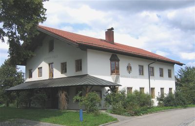
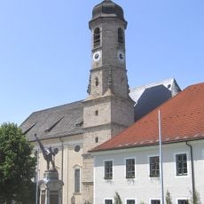
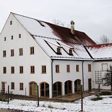
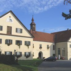
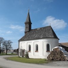
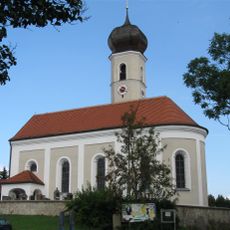
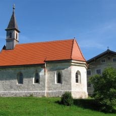
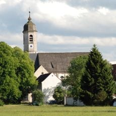
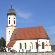
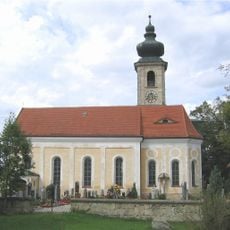
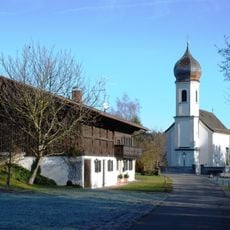
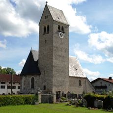
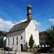
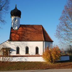
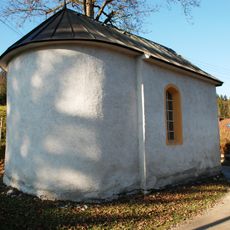
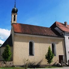
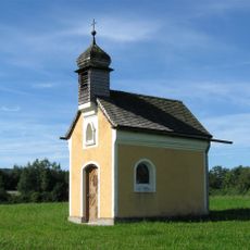
Valley is a small municipality in the Miesbach district of Upper Bavaria with about 3400 residents. The village is characterized by simple farmhouses, a historic castle in the center, and green meadows crossed by the Mangfall river.
The region was settled in Celtic times, and archaeological finds confirm early presence. In 1140, a significant battle took place at Valley between Welf VI and Leopold IV, which was important for the region's history.
The community gathers regularly to celebrate local festivals and church events that reflect Bavarian traditions. The local brass band plays at celebrations, and residents maintain customs that have been passed down through families for generations.
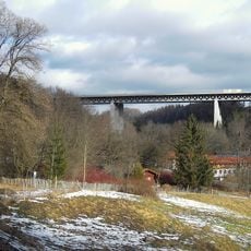
The municipality is well connected by two train stations with hourly connections to Munich and Rosenheim. Highway access is nearby, and the quiet roads are suitable for walks and exploring the surrounding area.
Valley hosts the annual Extreme Ironing World Championships, an unusual event where people iron clothes in unconventional locations and turn an everyday chore into an adventure. This quirky festival attracts participants and spectators from around the world.
The community of curious travelers
AroundUs brings together thousands of curated places, local tips, and hidden gems, enriched daily by 60,000 contributors worldwide.