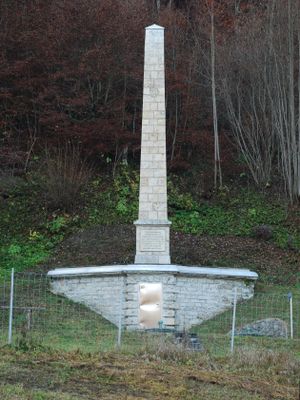
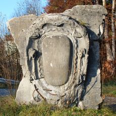
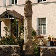
Obelisk am Kasperlbach, Erinnerung an den Bau der Münchener Wasserversorgung 1881–83
The Obelisk am Kasperlbach is a stone monument standing near the stream of the same name in a Bavarian valley. The simply designed column is built from rectangular stones stacked to about 3 meters (10 feet) high, with a gradually widening upper section and a decorative band separating the base from the shaft.
The monument was built in 1883 to honor the securing of the Kasperlbach spring for Munich's water supply between 1881 and 1883. The project came after outbreaks of diseases like cholera and typhus that forced the city to find reliable drinking water sources in the surrounding hills.
The obelisk bears an inscription honoring Alois von Erhardt, Munich's mayor at the time, and tells of the rediscovery of the Kasperlbach spring. It stands as a quiet mark of how the community worked together to bring clean water to the city and improve daily life for its people.
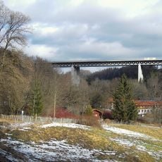
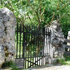
The monument sits next to a small tunnel entrance and is easy to reach via walking paths through the valley, especially if you follow the stream. Information panels on site explain the water system and the site's importance, making a visit easier to understand.
Water from this spring still flows through underground tunnels to Munich today and supplies the city with drinking water. The obelisk is therefore not just a historical memory but continues to connect the past with the city's present water supply.
The community of curious travelers
AroundUs brings together thousands of curated places, local tips, and hidden gems, enriched daily by 60,000 contributors worldwide.