Enable Location

We need your location to show you interesting places around you

Discover nearby places

Find interesting locations and hidden gems around you

Precise directions

Get accurate directions and distances to places

Your location is never shared with other users. It's only used when you tap the location button.

Eichstätt district

Log in to your account

Start exploring — it's free

Trusted by 62,249 travelers worldwide

Continue with Google
Continue with Apple
or

We will send you a code to connect

By continuing, you accept our Terms and Conditions and our Privacy Policy

Check your inbox

We've sent a pincode in your inbox. Please enter the code below.

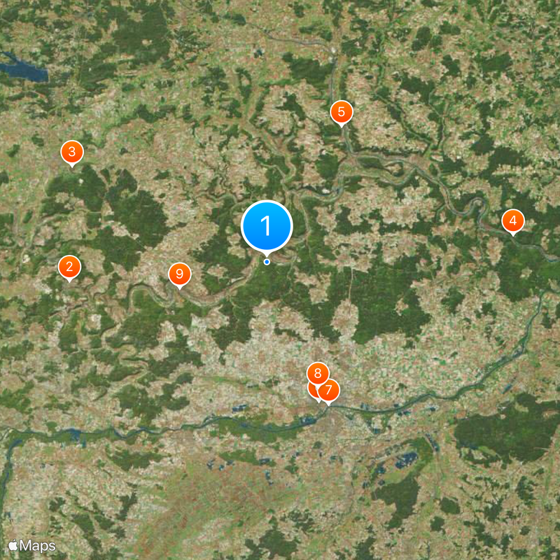
Eichstätt district, Administrative district in Upper Bavaria, Germany

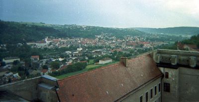
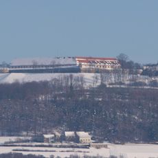
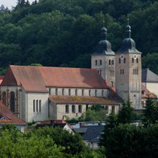
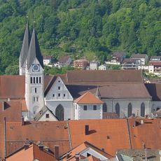
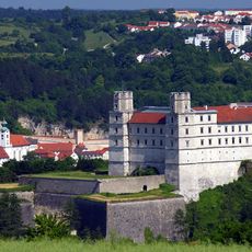
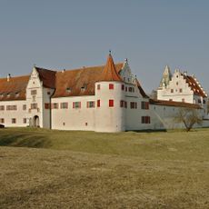
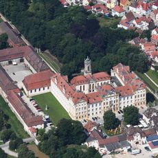
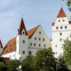
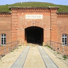
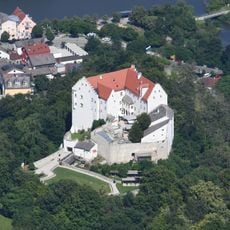
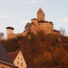
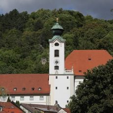
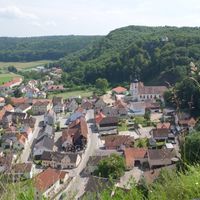
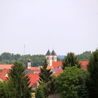
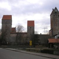
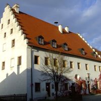
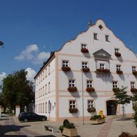
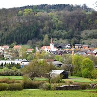
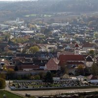
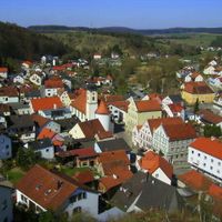
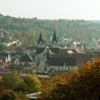
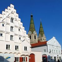
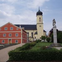
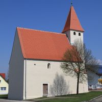
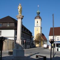
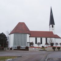
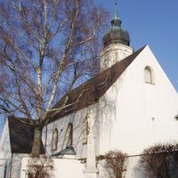
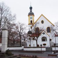
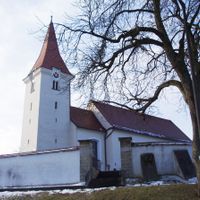
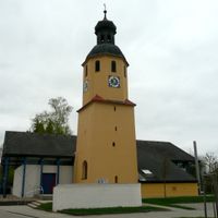
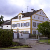
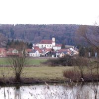
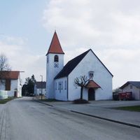
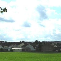
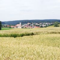
Eichstätt district is a rural administrative area in Upper Bavaria with around 30 municipalities and the town of Eichstätt as its administrative center. The region spans 1,214 square kilometers and consists of villages, forests, and nature park areas with gently rolling landscapes.

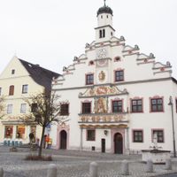
This district was founded in 1862 and took its present form in 1972 when several neighboring districts were dissolved and merged. This reorganization brought different territorial parts under unified administration.

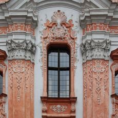
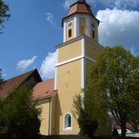
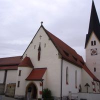
The coat of arms displays symbols from its past: a torch for industry, a crosier for church heritage, and an antler honoring a medieval noble family. These marks show how different traditions shaped the region over time.

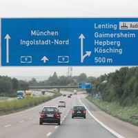
The area is easily reached from several larger cities and has strong economic ties to agriculture and local businesses. Its proximity to industrial centers nearby makes it a practical base for exploring the broader region.

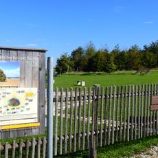
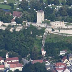
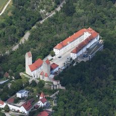
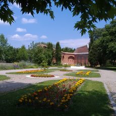
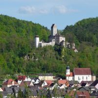
Most of the district lies within nature park areas, offering visitors plenty of space for hiking and outdoor activities. These large protected areas make the region an important retreat for nature-based recreation.

The community of curious travelers

AroundUs brings together thousands of curated places, local tips, and hidden gems, enriched daily by 60,000 contributors worldwide.

Start exploring
Location
Inception
July 1, 1862
Capital city
Eichstätt
Elevation above the sea
475 m
Part of
Planungsregion Ingolstadt
Shares border with
Pfaffenhofen, Ingolstadt, Neuburg-Schrobenhausen, Kelheim, Neumarkt, Roth, Weißenburg-Gunzenhausen, Donau-Ries
Address
Residenzplatz
GPS coordinates
48.92000,11.33000
Latest update
December 17, 2025 08:36
« Eichstätt district - Administrative district in Upper Bavaria, Germany » is provided by Around Us (aroundus.com). Images and texts are derived from Wikimedia project under a Creative Commons license. You are allowed to copy, distribute, and modify copies of this page, under the conditions set by the license, as long as this note is clearly visible.

Discover hidden gems everywhere you go!

From secret cafés to breathtaking viewpoints, skip the crowded tourist spots and find places that match your style. Our app makes it easy with voice search, smart filtering, route optimization, and insider tips from travelers worldwide. Download now for the complete mobile experience.

Around Us App Screenshot

A unique approach to discovering new places

Le Figaro

All the places worth exploring

France Info

A tailor-made excursion in just a few clicks

20 Minutes

Around Us
Travel Guide & Maps
Download

Send to your phone

QR Code
1

Open the camera app on your mobile.

2

Point at the QR code with your camera. A notification will appear.

3

Tap the notification to open the link.