Log in to your account

AroundUs is a community-driven map of interesting places, built by curious explorers like you. It grows with every review, story, and photo you share.
Connect to save your favorite spots, contribute locations, and create personalized routes.
Continue with Google
Continue with Apple
Continue with X
Continue with Facebook
Continue with email
By continuing, you accept our Terms and Conditions and our Privacy Policy
Create an account
Add to collection
Map
Suggest a change
Share

Garmisch-Partenkirchen, Alpine district in Bavaria, Germany

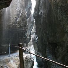
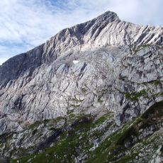
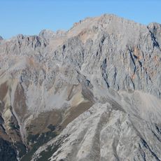
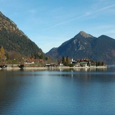
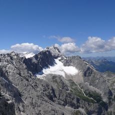
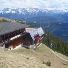
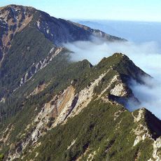
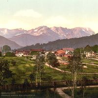
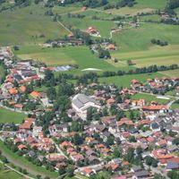
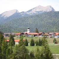
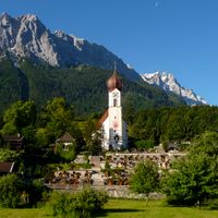
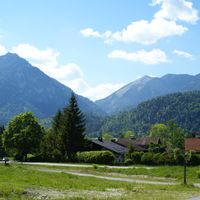
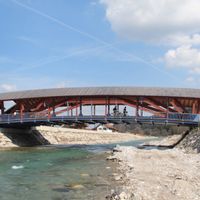
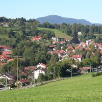
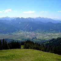
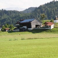
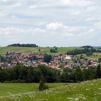
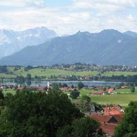
Garmisch-Partenkirchen is an alpine district in Bavaria that spans across valleys and mountain ranges, containing Germany's highest peak. The area includes multiple towns, extensive forests, and alpine meadows within a varied landscape.

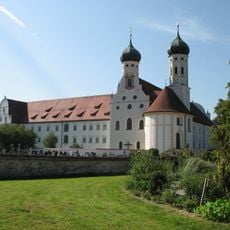
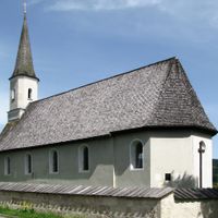
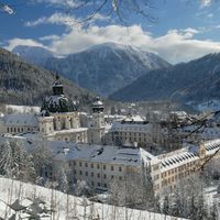
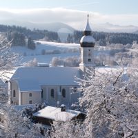
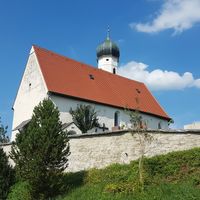
The territory was controlled by the bishops of Freising and the Ettal Abbey for centuries before Bavaria acquired it in the early 1800s. This long period of ecclesiastical rule shaped the region's religious and cultural character.

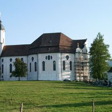
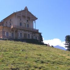
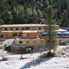
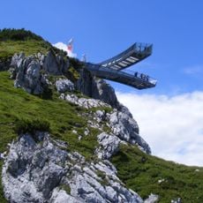
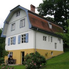
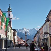
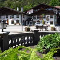
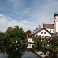
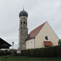
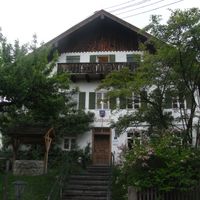
The region is known for mountaineering, traditional crafts, and painted farmhouse facades that reflect local alpine life. Visitors can see religious symbols and local customs displayed throughout village squares and at seasonal festivals.

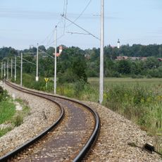
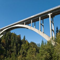
The district capital has direct train service to Munich and Innsbruck, along with highway access via the B2 road. The best time to visit is May through September for hiking, or December through February for winter sports.

The region's coat of arms features a lion with a griffin head, an unusual symbol representing ownership by Steingaden Abbey. This historical emblem combines two different creatures in a distinctive way that few visitors immediately recognize.

Location: Upper Bavaria

Inception: July 1, 1862

Capital city: Garmisch-Partenkirchen

Elevation above the sea: 1,296 m

Shares border with: Ostallgäu, Weilheim-Schongau, Bad Tölz-Wolfratshausen, Reutte district, Imst District, Innsbruck-Land District, Schwaz District

Website: http://landkreis-garmisch-partenkirchen.de

GPS coordinates: 47.58000,11.17000

Latest update: December 17, 2025 09:46

Photos
Reviews

Visited this place? Tap the stars to rate it and share your experience / photos with the community! Try now! You can cancel it anytime.

« Garmisch-Partenkirchen - Alpine district in Bavaria, Germany » is provided by Around Us (aroundus.com). Images and texts are derived from Wikimedia project under a Creative Commons license. You are allowed to copy, distribute, and modify copies of this page, under the conditions set by the license, as long as this note is clearly visible.

Discover hidden gems everywhere you go!

From secret cafés to breathtaking viewpoints, skip the crowded tourist spots and find places that match your style. Our app makes it easy with voice search, smart filtering, route optimization, and insider tips from travelers worldwide. Download now for the complete mobile experience.

Around Us App Screenshot

A unique approach to discovering new places

Le Figaro

All the places worth exploring

France Info

A tailor-made excursion in just a few clicks

20 Minutes