Farchant, municipality in Bavaria, Germany
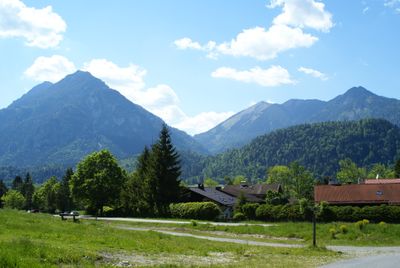
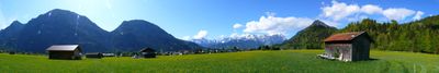
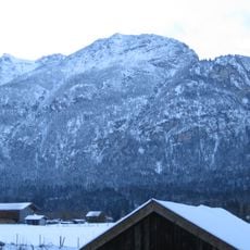
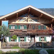
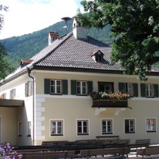
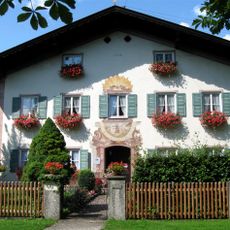
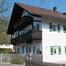
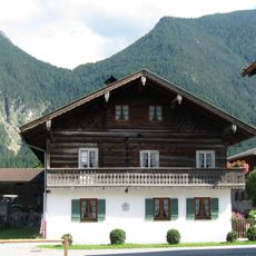
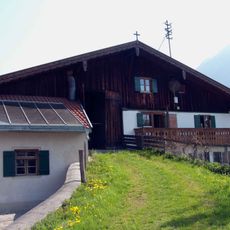
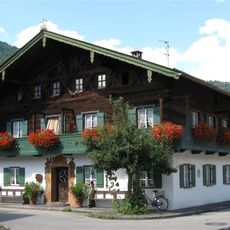
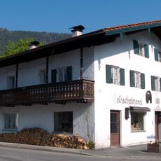
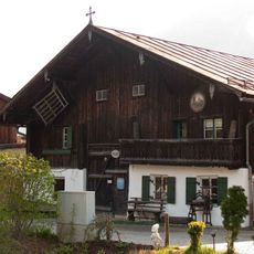
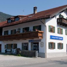
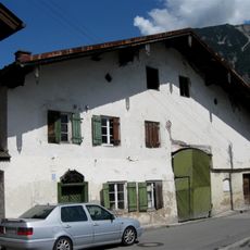
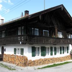
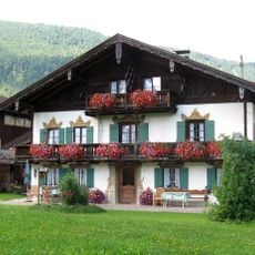
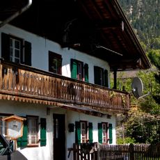
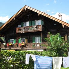
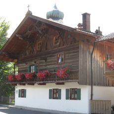
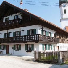
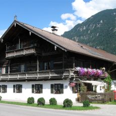
Farchant is a municipality in the Garmisch-Partenkirchen district in Bavaria. The settlement spreads across Alpine foothills with traditional farmhouses and meadows forming the typical structure of a Bavarian village in the region.
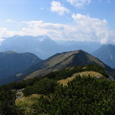
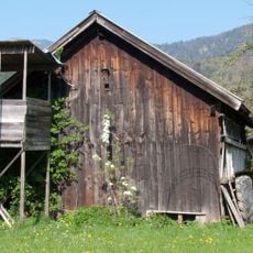
Farchant developed as a rural settlement in the Alpine foothills over several centuries. Agriculture and mountain pasture management shaped the community and remain central to local life today.
The municipality is accessible by road through routes that connect to larger towns in the surrounding area. Visitors should know that this is a quiet village without extensive tourism facilities or attractions.
The community of curious travelers
AroundUs brings together thousands of curated places, local tips, and hidden gems, enriched daily by 60,000 contributors worldwide.