Ettal, German municipality in the district of Garmisch-Partenkirchen, in Bavaria
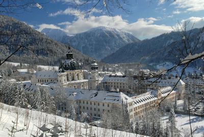
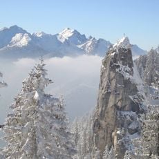
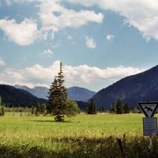
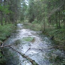
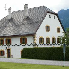
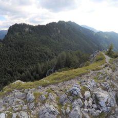
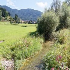
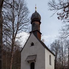
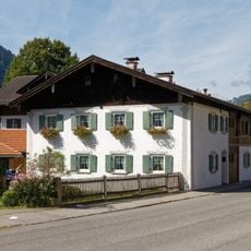
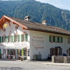
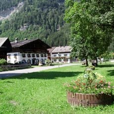
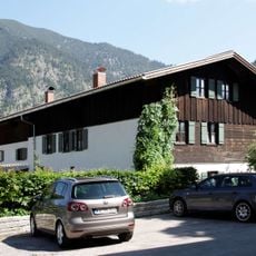
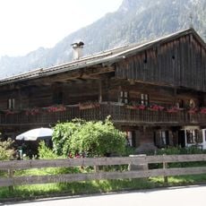
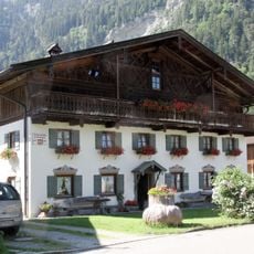
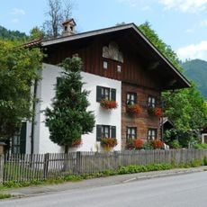
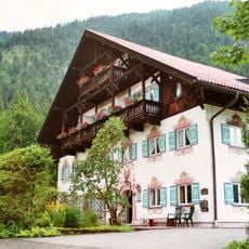
Ettal is a municipality in the Bavarian Alps within the Garmisch-Partenkirchen district. The settlement spreads through a narrow alpine valley surrounded by steep mountain slopes, with traditional architecture and a prominent Benedictine monastery defining its character.
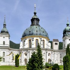
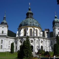
The municipality developed around the Benedictine monastery founded in 1330, which became a spiritual and economic center for the region. The abbey and its surroundings shaped the valley's growth through the centuries.
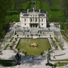
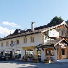
The valley is served by a main road accessible by car and bus, linking nearby destinations like Oberammergau and Linderhof. Parking spaces are limited given the narrow valley, so arriving early is helpful during peak seasons.
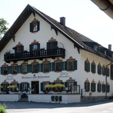
Lüftlmalerei, the traditional art of painting religious motifs on house facades, is especially common throughout this valley and gives many buildings their distinctive look. This craft appears on residences and public buildings with colorful, detailed wall paintings.
The community of curious travelers
AroundUs brings together thousands of curated places, local tips, and hidden gems, enriched daily by 60,000 contributors worldwide.