Bad Kohlgrub, municipality of Germany
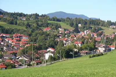
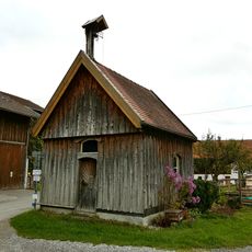
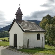
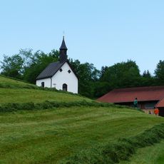
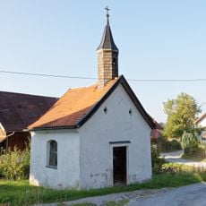
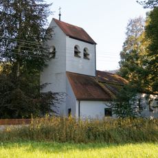
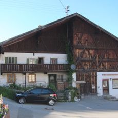
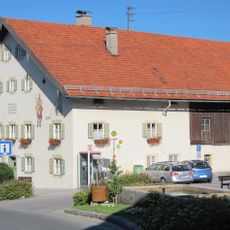
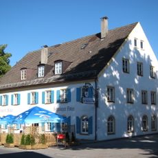
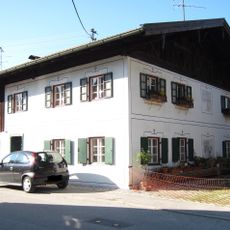
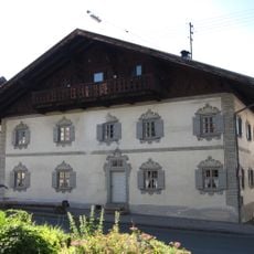
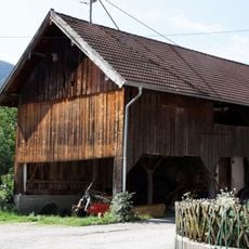
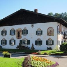
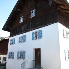
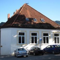
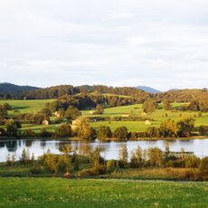
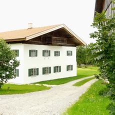
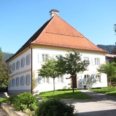
Bad Kohlgrub is a municipality in the Bavarian Alps south of Garmisch-Partenkirchen, known for its peat bath facilities. The village sits in a mountain valley surrounded by forests, with a mix of traditional architecture and contemporary wellness centers.
The municipality developed as a spa town in the 1800s after the healing properties of local peat deposits were discovered. This spa heritage continues to shape the character of the place today.
Bring sturdy footwear for the hilly paths and prepare for changeable mountain weather at any time. The warmest months offer the most comfortable conditions for walking around and enjoying the facilities fully.
The peat baths here are sourced from natural deposits beneath the ground, a supply that makes the treatments more authentic than at many other European spa towns. This direct access to natural peat resources has been the foundation of the village's appeal for over a century.
The community of curious travelers
AroundUs brings together thousands of curated places, local tips, and hidden gems, enriched daily by 60,000 contributors worldwide.