Enable Location

We need your location to show you interesting places around you

Discover nearby places

Find interesting locations and hidden gems around you

Precise directions

Get accurate directions and distances to places

Your location is never shared with other users. It's only used when you tap the location button.

Log in to your account

Start exploring — it's free

Trusted by 62,271 travelers worldwide

Continue with Google
Continue with Apple
or

We will send you a code to connect

By continuing, you accept our Terms and Conditions and our Privacy Policy

Check your inbox

We've sent a pincode in your inbox. Please enter the code below.

Pfaffenhofen, Administrative district in Upper Bavaria, Germany

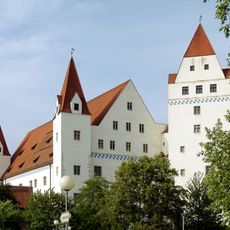
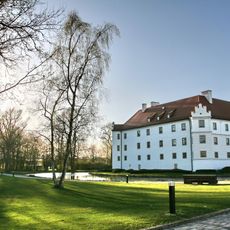
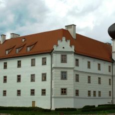
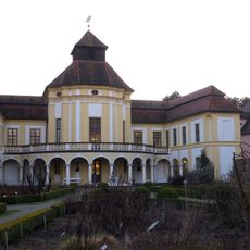
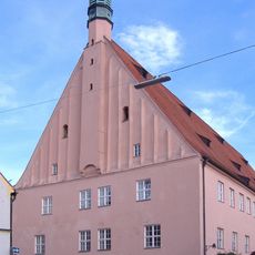
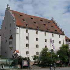
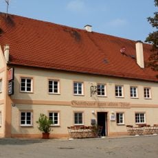
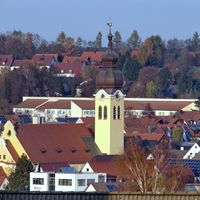
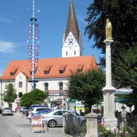
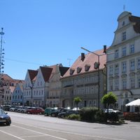
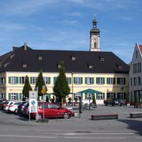
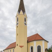
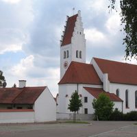
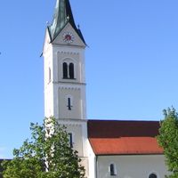
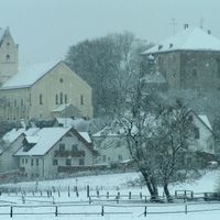
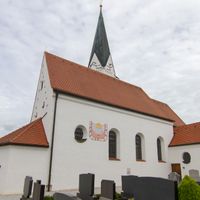
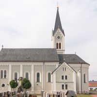
Pfaffenhofen is an administrative district in Upper Bavaria that encompasses nineteen municipalities with varied landscapes. The area includes both town and village spaces with typical Bavarian architecture and organized administrative services.

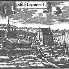
The district was officially founded in 1862 and established a structured administrative organization in Upper Bavaria. This administrative reform was part of Bavaria's modernization during the 19th century.

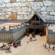
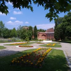
Each municipality preserves local traditions through regular festivals and markets where visitors can experience typical Bavarian life. Communities remain connected through shared customs and celebrations that shape village life here.

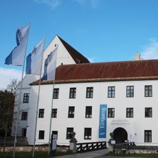
The main office in Pfaffenhofen city coordinates administrative services for all municipalities. Visitors can find central information points there about individual towns and their local offerings.

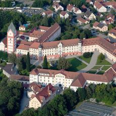
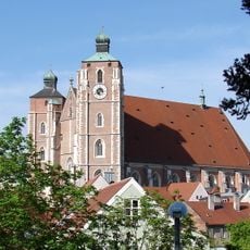
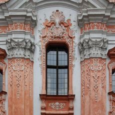
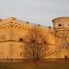
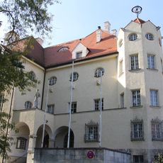
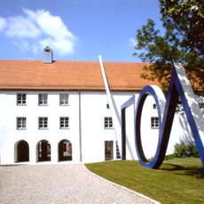
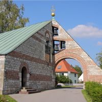
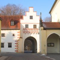
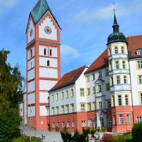
The area contains several medieval monasteries, including Scheyern Abbey with its valuable collection of old manuscripts. These monastic sites show the region's long spiritual history and carry a real sense of historical weight.

The community of curious travelers

AroundUs brings together thousands of curated places, local tips, and hidden gems, enriched daily by 60,000 contributors worldwide.

Start exploring
Location
Inception
July 1, 1862
Capital city
Pfaffenhofen an der Ilm
Elevation above the sea
439 m
Part of
Planungsregion Ingolstadt
Shares border with
Freising, Dachau, Ingolstadt, Neuburg-Schrobenhausen, Eichstätt district, Kelheim, Aichach-Friedberg
GPS coordinates
48.50000,11.50000
Latest update
December 19, 2025 23:45
« Pfaffenhofen - Administrative district in Upper Bavaria, Germany » is provided by Around Us (aroundus.com). Images and texts are derived from Wikimedia project under a Creative Commons license. You are allowed to copy, distribute, and modify copies of this page, under the conditions set by the license, as long as this note is clearly visible.

Discover hidden gems everywhere you go!

From secret cafés to breathtaking viewpoints, skip the crowded tourist spots and find places that match your style. Our app makes it easy with voice search, smart filtering, route optimization, and insider tips from travelers worldwide. Download now for the complete mobile experience.

Around Us App Screenshot

A unique approach to discovering new places

Le Figaro

All the places worth exploring

France Info

A tailor-made excursion in just a few clicks

20 Minutes

Around Us
Travel Guide & Maps
Download

Send to your phone

QR Code
1

Open the camera app on your mobile.

2

Point at the QR code with your camera. A notification will appear.

3

Tap the notification to open the link.