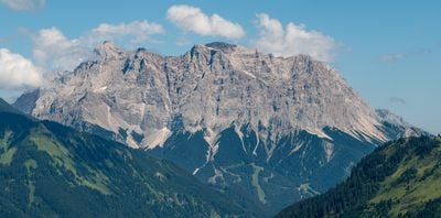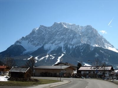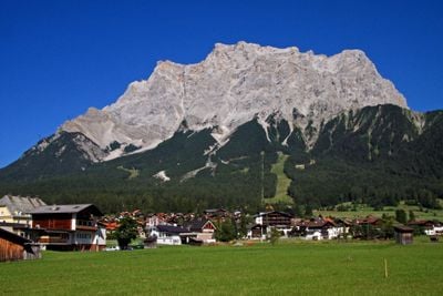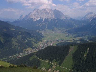
Zugspitze, Mountain peak in Garmisch-Partenkirchen, Germany
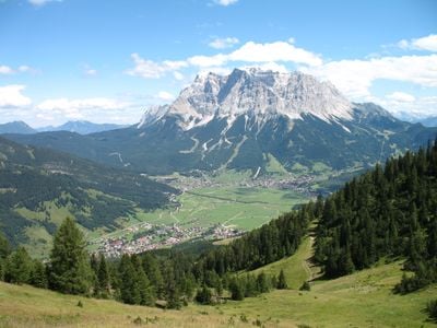
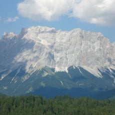
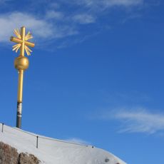
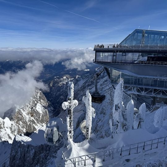
The Zugspitze rises to 2962 meters and forms the highest point in Germany at the border between Bavaria and Tyrol. From the top you can see across four countries and roughly 400 peaks of the Alps.
The first recorded climb took place on August 27, 1820 when surveyor Josef Naus reached the summit with mountain guide Johann Georg Tauschl and an assistant named Maier. Later the peak became accessible to a wider public through the construction of cable cars and a cogwheel railway.
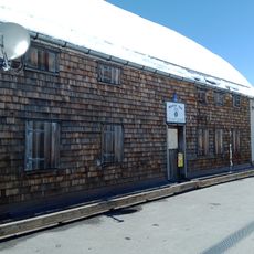
The name Zugspitze probably comes from the avalanche paths (Zugbahnen) that run down the massif in winter, leaving debris of stones and scree. Until the 19th century the mountain was called Zugspitz; maps of 1836 turned it into Zugspitze. The summit lounge of the café is named "2962" after the officially surveyed height.
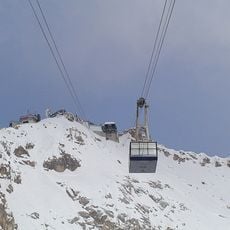
The rack railway runs inside the northern flank and ends on the Zugspitzplatt, where a short cable car continues to the Schneefernerhaus, an environmental research station since 1999. The Eibsee Cable Car and the rack railway together carry about 500,000 people to the summit each year. The border crossing at the top is unstaffed, as Germany and Austria are both in the Schengen zone.
The east summit is the only one of the original three peaks still in its original form; the middle summit was removed in 1930 for a cable car station, and the west summit was blown up in 1938 for a planned Wehrmacht flight control room that was never built. The west summit had stood at 2964 metres.
The community of curious travelers
AroundUs brings together thousands of curated places, local tips, and hidden gems, enriched daily by 92,321 contributors worldwide.