Mühldorf, Administrative district in Upper Bavaria, Germany
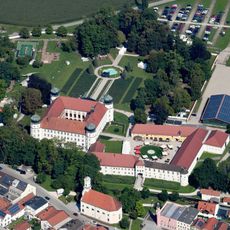
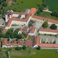
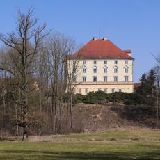
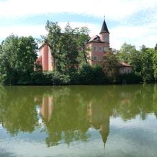
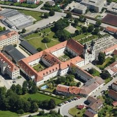
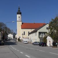
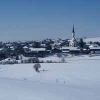
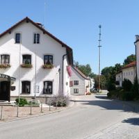
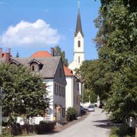
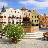
Mühldorf is an administrative district in Upper Bavaria that spreads across countryside villages and small towns along the Isar plain. The area blends rural settlements with the central city of Mühldorf, which serves as the administrative heart of the region.
The territory came under Salzburg's control in 1287, a shift that reshaped the region's power structure. This change in rule influenced the area's development through the centuries that followed.
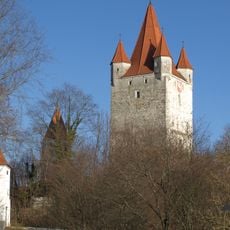
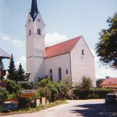
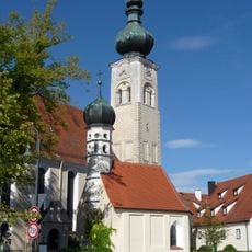
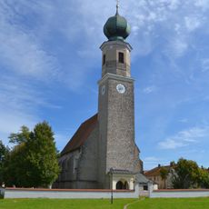
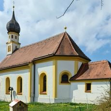
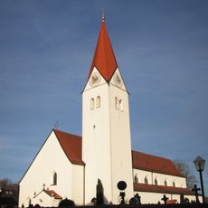
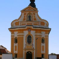
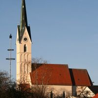
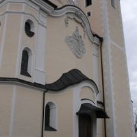
The area carries traces of its past through local architecture and traditions. You notice traditional Bavarian building styles in the villages and encounter regional festivals that shape daily life here.
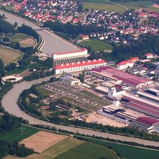
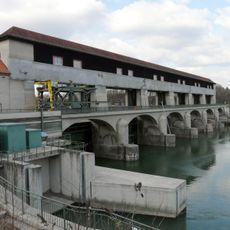
The area is shaped by the Isar River, which runs through it and influences local infrastructure. You'll find administrative services in the central city and can easily reach the surrounding villages from there.
The region's coat of arms displays two lions referencing past Salzburg and Palatine influences. These symbols reflect how different powers shaped the territory across the centuries.
Location: Upper Bavaria
Inception: July 1, 1862
Capital city: Mühldorf am Inn
Elevation above the sea: 447 m
Shares border with: Altötting county, Traunstein, Ebersberg, Rosenheim, Erding, Landshut, Rottal-Inn
Website: https://lra-mue.de
GPS coordinates: 48.25000,12.42000
Latest update: December 13, 2025 16:12
Weingut I
2.6 km
Schloss Tüßling
13.8 km
Church of the Assumption
20.1 km
Burg Haag
20.3 km
Kloster Au am Inn
11.5 km
Mariä Himmelfahrt
15.3 km
Töging power station
12.3 km
Schloss Guttenburg
7 km
Kloster Zangberg
2.8 km
Schloss Schwindegg
12.3 km
Cultural heritage D-1-7638-0023 in Wartenberg
32.8 km
Schloss Egglkofen
16.6 km
Wasserschloss Taufkirchen
23.6 km
Gars Abbey
14.9 km
Schloss Burgrain
28.4 km
Wallfahrtskirche Maria Thalheim
31.4 km
Cultural heritage D-1-7738-0029 in Lengdorf
27.4 km
Schloss Wald an der Alz
18.9 km
Wallfahrtskirche Unschuldige Kinder in Heiligenstatt
14.6 km
Burg Megling
11.3 km
Wallfahrtskirche Mariä Himmelfahrt
20.4 km
Johannes der Täufer
14.6 km
Schloss Klebing
14 km
Cultural heritage D-1-7738-0015 in Lengdorf
27.1 km
Schloss Jettenbach
9.3 km
St. Vitus' Abbey on the Rott
14.1 km
Jettenbacher weir
8.5 km
St. Zeno
27.2 kmVisited this place? Tap the stars to rate it and share your experience / photos with the community! Try now! You can cancel it anytime.
Mühldorf am Inn
Neumarkt-Sankt Veit
Waldkraiburg
Buchbach
Gars
Haag in Oberbayern
Mühldorfer Hart
Ampfing
Aschau am Inn
Egglkofen
Erharting
Heldenstein
Jettenbach
Kirchdorf
Lohkirchen
Maitenbeth
Mettenheim
Niederbergkirchen
Niedertaufkirchen
Oberbergkirchen
Oberneukirchen
Obertaufkirchen
Polling
Rattenkirchen
Rechtmehring
Reichertsheim
Schwindegg
Taufkirchen
Unterreit
Zangberg
Schönberg
Kraiburg
Discover hidden gems everywhere you go!
From secret cafés to breathtaking viewpoints, skip the crowded tourist spots and find places that match your style. Our app makes it easy with voice search, smart filtering, route optimization, and insider tips from travelers worldwide. Download now for the complete mobile experience.
A unique approach to discovering new places❞
— Le Figaro
All the places worth exploring❞
— France Info
A tailor-made excursion in just a few clicks❞
— 20 Minutes