Enable Location

We need your location to show you interesting places around you

Discover nearby places

Find interesting locations and hidden gems around you

Precise directions

Get accurate directions and distances to places

Your location is never shared with other users. It's only used when you tap the location button.

Log in to your account

Start exploring — it's free

Trusted by 63,013 travelers worldwide

Continue with Google
Continue with Apple
or

We will send you a code to connect

By continuing, you accept our Terms and Conditions and our Privacy Policy

Check your inbox

We've sent a pincode in your inbox. Please enter the code below.

Discussion Reviews Photo
32.6k Popularity

Starnberg, Administrative division in Upper Bavaria, Germany

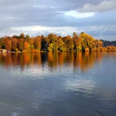
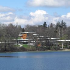
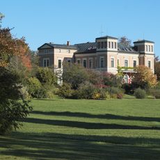
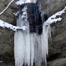
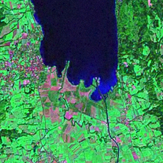
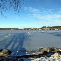
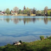
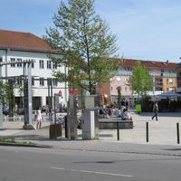
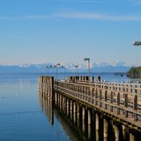
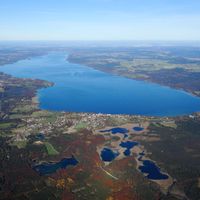
Starnberg is a district in Upper Bavaria comprising multiple municipalities and glacial lakes south of Munich. The area is characterized by forests, meadows, and water bodies that shape its landscape.

The district was founded in 1902 following the dissolution of the administrative district Munich II. This reorganization allowed the region to develop its own administrative structure.

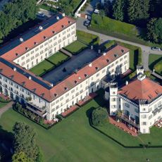
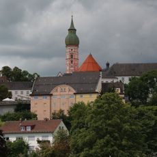
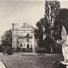
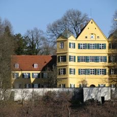
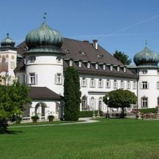
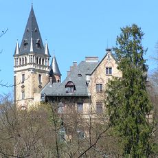
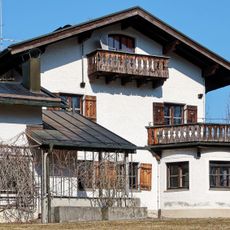
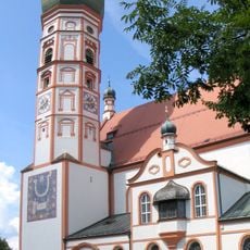
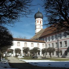
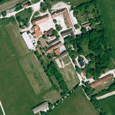
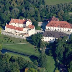
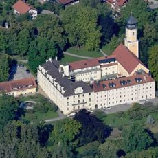
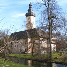
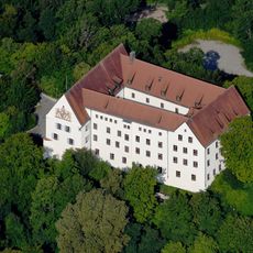
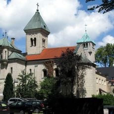
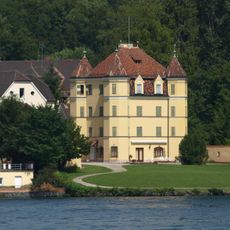
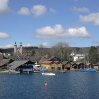
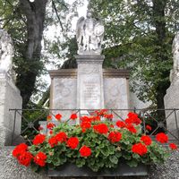
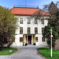
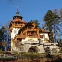
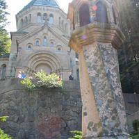
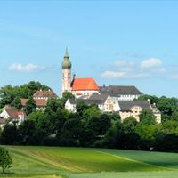
Each municipality within the Starnberg district maintains its distinct traditions, with Andechs known for its monastery and Tutzing for its castle.

Two railway stations connect the district directly to Munich via the S6 line, making arrival straightforward. Public transportation offers visitors good options for exploring the various municipalities and lakes.

Lake Starnberg extends across parts of the district, with approximately 62 square kilometers of water surface not belonging to any specific municipality. These unincorporated areas form a distinctive part of the lake that remains under direct district administration.

The community of curious travelers

AroundUs brings together thousands of curated places, local tips, and hidden gems, enriched daily by 60,000 contributors worldwide.

Start exploring
Location
Inception
October 1, 1902
Capital city
Starnberg
Elevation above the sea
683 m
Shares border with
Landsberg am Lech, Weilheim-Schongau, Bad Tölz-Wolfratshausen, Munich, Fürstenfeldbruck
GPS coordinates
48.01000,11.28000
Latest update
December 20, 2025 00:19
Reviews
Share your experience

No review yet

Discussions
Start a discussion...

No discussion yet

« Starnberg - Administrative division in Upper Bavaria, Germany » is provided by Around Us (aroundus.com). Images and texts are derived from Wikimedia project under a Creative Commons license. You are allowed to copy, distribute, and modify copies of this page, under the conditions set by the license, as long as this note is clearly visible.

Discover hidden gems everywhere you go!

From secret cafés to breathtaking viewpoints, skip the crowded tourist spots and find places that match your style. Our app makes it easy with voice search, smart filtering, route optimization, and insider tips from travelers worldwide. Download now for the complete mobile experience.

Around Us App Screenshot

A unique approach to discovering new places

Le Figaro

All the places worth exploring

France Info

A tailor-made excursion in just a few clicks

20 Minutes

Around Us
Travel Guide & Maps
Download

Send to your phone

QR Code
1

Open the camera app on your mobile.

2

Point at the QR code with your camera. A notification will appear.

3

Tap the notification to open the link.