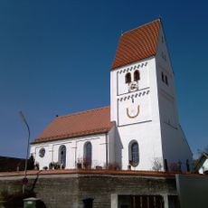
Seefeld, municipality in Bavaria, Germany
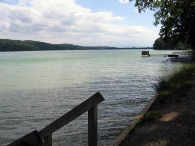
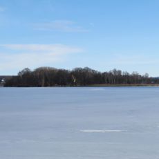
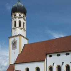
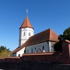
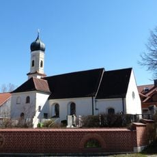
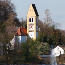
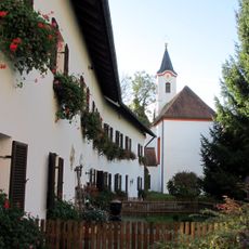
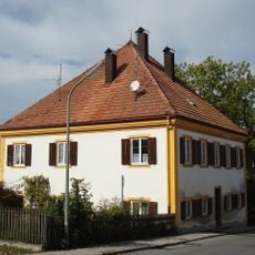
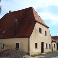
Seefeld is a small municipality in the Starnberg region of Bavaria, situated on the shore of Pilsensee Lake. The town consists of traditional stone and brick buildings, narrow quiet streets, and a small harbor where boats are moored.
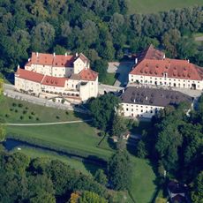
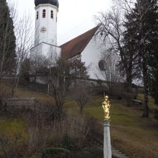
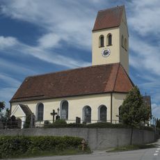
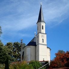
The place has a long history with roots spanning several centuries. Seefeld Castle was built around the year 1302 and was once the seat of the Toering family, who owned extensive lands in the region.
The name derives from the lake on which it sits, and today residents and visitors use the space mainly for leisurely walks and boating activities. Traditional brick and stone buildings shape the town's appearance and reflect how the community has developed over generations.
The place is well connected by train, especially via the S8 line from Munich, which offers quick access to the rural area. There are small shops and cafes on site, plus walking and cycling paths along the lakeshore that are easy to explore.
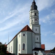
The town's coat of arms contains symbols from its past that help residents remember the long history of the place. These historical signs are visible throughout the small community and give it a special character.
The community of curious travelers
AroundUs brings together thousands of curated places, local tips, and hidden gems, enriched daily by 60,000 contributors worldwide.