Enable Location

We need your location to show you interesting places around you

Discover nearby places

Find interesting locations and hidden gems around you

Precise directions

Get accurate directions and distances to places

Your location is never shared with other users. It's only used when you tap the location button.

Krailling

Log in to your account

Start exploring — it's free

Trusted by 63,014 travelers worldwide

Continue with Google
Continue with Apple
or

We will send you a code to connect

By continuing, you accept our Terms and Conditions and our Privacy Policy

Check your inbox

We've sent a pincode in your inbox. Please enter the code below.

Discussion Reviews 1 Photos
26.3k Popularity

Krailling, Municipality in Starnberg district, Germany

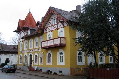
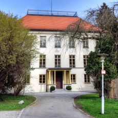
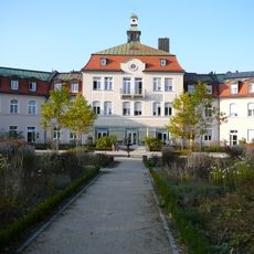
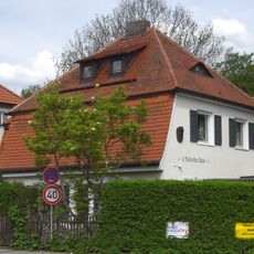
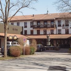
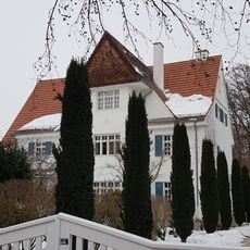
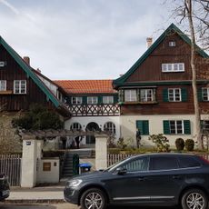
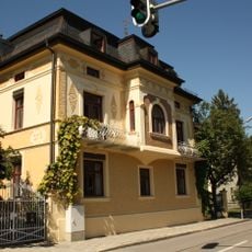
Krailling is a municipality in Starnberg district, Bavaria, set across residential areas at an elevation of about 548 meters. The place consists of several distinct areas that blend green neighborhoods with everyday services and infrastructure.

Krailling became part of Starnberg district's administrative structure and developed into its current form. The different areas that make up the place grew over time following patterns typical of Bavarian settlement development.

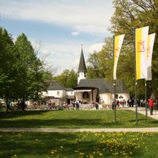
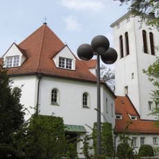
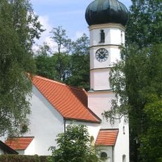
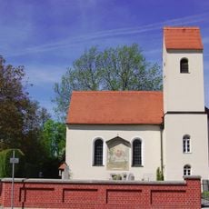
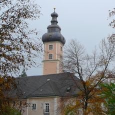
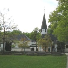
The Church of Saint Margaret shapes the local character and brings people together for services and celebrations. Artists and musicians have made their homes here, enriching everyday community life.

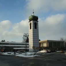
The place is reachable from Munich and has good connections to regional infrastructure. It helps to explore local paths on foot or by bike to get to know the different areas properly.

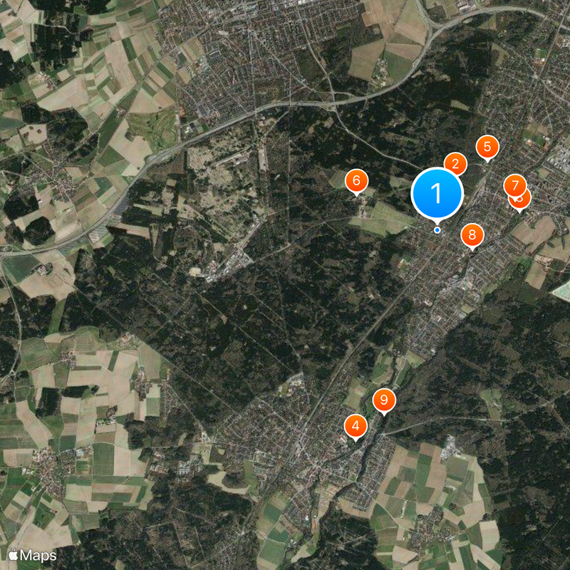
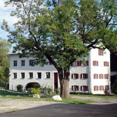
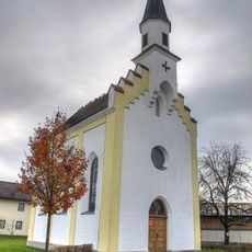
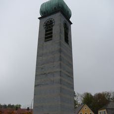
The area includes several independent sections like Frohnloh, Hüll bei Gilching, and Pentenried, each keeping its own character. Despite their closeness to Munich, these parts have kept a village-like feel.

The community of curious travelers

AroundUs brings together thousands of curated places, local tips, and hidden gems, enriched daily by 60,000 contributors worldwide.

Start exploring
Location
Elevation above the sea
548 m
GPS coordinates
48.09926,11.40509
Latest update
December 20, 2025 15:17
Reviews
Share your experience

No review yet

Discussions
Start a discussion...

No discussion yet

« Krailling - Municipality in Starnberg district, Germany » is provided by Around Us (aroundus.com). Images and texts are derived from Wikimedia project under a Creative Commons license. You are allowed to copy, distribute, and modify copies of this page, under the conditions set by the license, as long as this note is clearly visible.

Discover hidden gems everywhere you go!

From secret cafés to breathtaking viewpoints, skip the crowded tourist spots and find places that match your style. Our app makes it easy with voice search, smart filtering, route optimization, and insider tips from travelers worldwide. Download now for the complete mobile experience.

Around Us App Screenshot

A unique approach to discovering new places

Le Figaro

All the places worth exploring

France Info

A tailor-made excursion in just a few clicks

20 Minutes

Around Us
Travel Guide & Maps
Download

Send to your phone

QR Code
1

Open the camera app on your mobile.

2

Point at the QR code with your camera. A notification will appear.

3

Tap the notification to open the link.