Enable Location

We need your location to show you interesting places around you

Discover nearby places

Find interesting locations and hidden gems around you

Precise directions

Get accurate directions and distances to places

Your location is never shared with other users. It's only used when you tap the location button.

Dachau

Log in to your account

Start exploring — it's free

Trusted by 62,290 travelers worldwide

Continue with Google
Continue with Apple
or

We will send you a code to connect

By continuing, you accept our Terms and Conditions and our Privacy Policy

Check your inbox

We've sent a pincode in your inbox. Please enter the code below.

Dachau, Administrative division in Upper Bavaria, Germany.

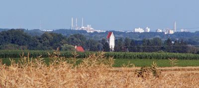
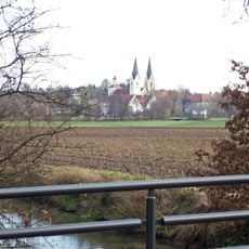
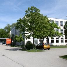
Dachau is an administrative district northwest of Munich in Upper Bavaria, comprising 17 municipalities across approximately 579 square kilometers. The area combines diverse landscapes with rural regions and suburban settlements.

The district was established on July 1, 1862, integrating multiple rural communities and towns under centralized regional administration. This reorganization shaped the area's development for over a century and a half.

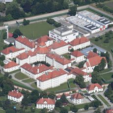
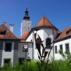
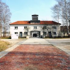
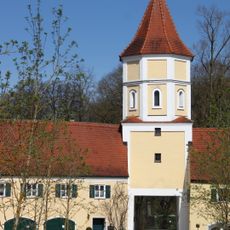
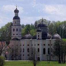
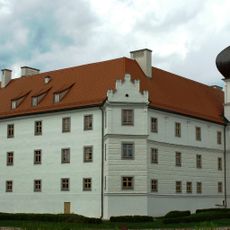
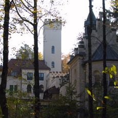
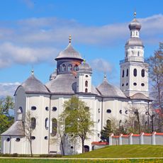
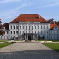
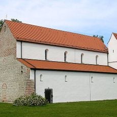
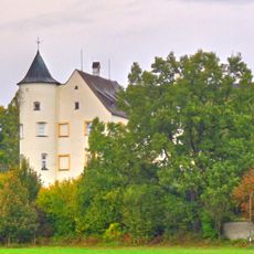
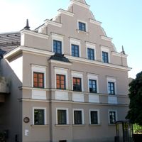
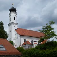
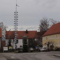
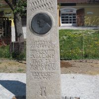
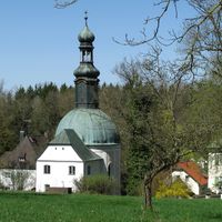
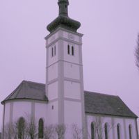
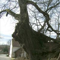
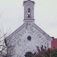
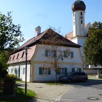
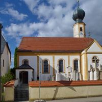
Locals maintain traditions through annual festivals and regional customs that shape the community calendar. Traditional Bavarian architecture visible in town centers reflects these cultural connections to the region's heritage.

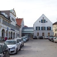
The area is managed through a network of municipal offices coordinated by the district administration in Dachau city. Visitors will find good regional rail connections linking the various communities throughout the district.

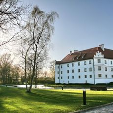
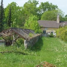
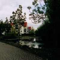
The area sits at an elevation of around 506 meters (1,660 feet), combining agricultural lands, forested areas, and residential zones in a balanced mix. This combination of different land types makes the district a model for how rural and urban uses can coexist.

The community of curious travelers

AroundUs brings together thousands of curated places, local tips, and hidden gems, enriched daily by 60,000 contributors worldwide.

Start exploring
Location
Inception
July 1, 1862
Capital city
Dachau
Elevation above the sea
506 m
Shares border with
Pfaffenhofen, Freising, Munich, Fürstenfeldbruck, Aichach-Friedberg
GPS coordinates
48.25000,11.42000
Latest update
December 20, 2025 15:24
« Dachau - Administrative division in Upper Bavaria, Germany » is provided by Around Us (aroundus.com). Images and texts are derived from Wikimedia project under a Creative Commons license. You are allowed to copy, distribute, and modify copies of this page, under the conditions set by the license, as long as this note is clearly visible.

Discover hidden gems everywhere you go!

From secret cafés to breathtaking viewpoints, skip the crowded tourist spots and find places that match your style. Our app makes it easy with voice search, smart filtering, route optimization, and insider tips from travelers worldwide. Download now for the complete mobile experience.

Around Us App Screenshot

A unique approach to discovering new places

Le Figaro

All the places worth exploring

France Info

A tailor-made excursion in just a few clicks

20 Minutes

Around Us
Travel Guide & Maps
Download

Send to your phone

QR Code
1

Open the camera app on your mobile.

2

Point at the QR code with your camera. A notification will appear.

3

Tap the notification to open the link.