Berchtesgadener Land, Administrative district in Upper Bavaria, Germany.
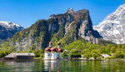
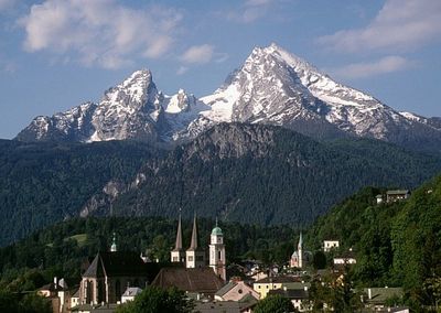
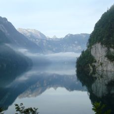
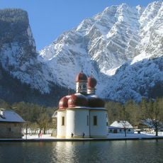
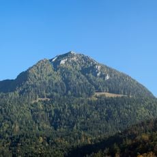
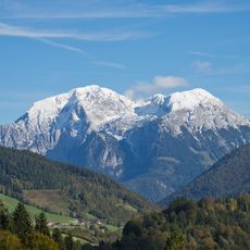
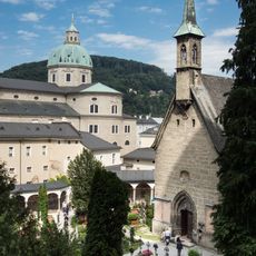
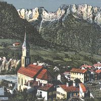
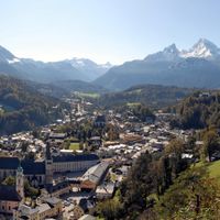
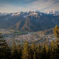
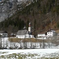
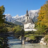
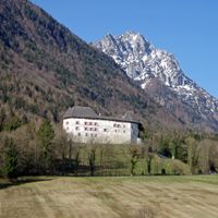
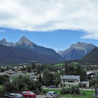
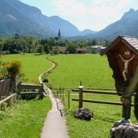
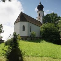
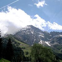
Berchtesgadener Land is a rural district in southeastern Upper Bavaria, stretching along the Austrian border. The landscape is dominated by the Berchtesgaden Alps, which include the prominent Watzmann with its three main peaks.
The current administrative structure was created in 1972 by merging the former districts of Berchtesgaden and parts of Laufen with the independent city of Bad Reichenhall. This reform united areas that had been connected for centuries through salt extraction and trade.
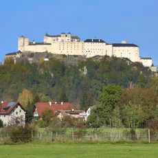
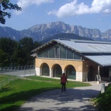
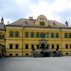
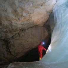
The district maintains strong connections to salt mining traditions, with multiple historic mines in Bad Reichenhall and Berchtesgaden contributing to regional identity and development.
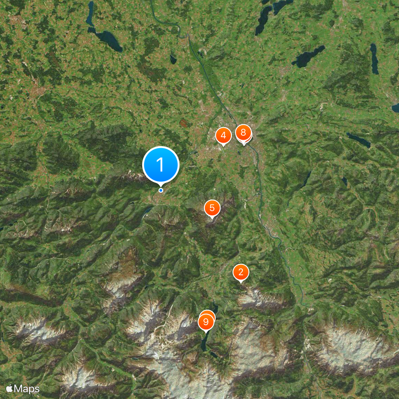
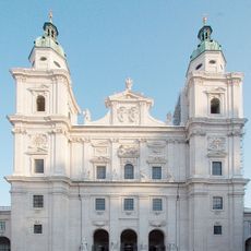
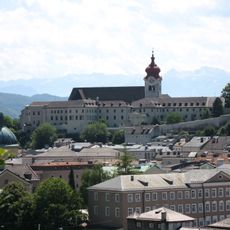
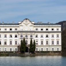
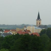
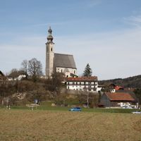
Bad Reichenhall serves as the district capital and is easily reached via federal highways and the Munich-Salzburg railway line. The district's seventeen municipalities are spread across a large mountain area, where many villages are connected only by mountain pass roads.
The district borders form what is known as Kleines Deutsches Eck, a wedge of German territory that extends between Austrian regions. This geographic feature resulted from historical territorial agreements and remains clearly visible on maps today.
The community of curious travelers
AroundUs brings together thousands of curated places, local tips, and hidden gems, enriched daily by 60,000 contributors worldwide.