Bayerisch Gmain, municipality of Germany
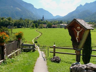
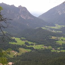
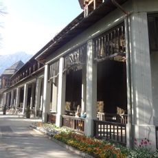
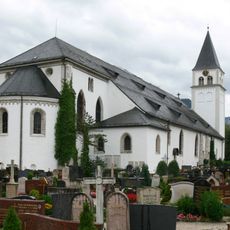
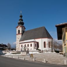
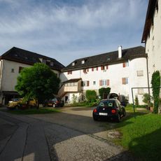
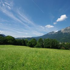
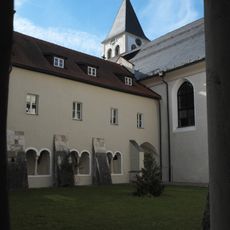
Bayerisch Gmain is a small municipality in Berchtesgadener Land situated at about 540 meters elevation above a wide valley and surrounded by mountains including the Untersberg and Lattengebirge. The settlement is home to around 3,000 residents and is characterized by traditional houses built from wood and stone with simple designs, quiet streets lined with trees, and small gardens that create the appearance of a peaceful Bavarian village.
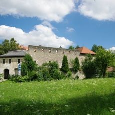
The region was inhabited as early as the Bronze Age and became known to the Celts as 'Muona', which the Romans later called 'Mona'. The name Gmain first appears in records from the early 8th century when the area fell under Salzburg rule and served as farmland supporting the nearby salt production industry.
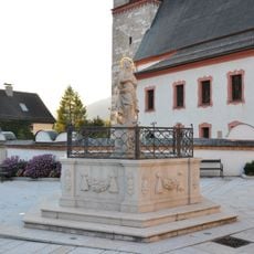
The area holds connections to ancient Celtic settlements that once called this place 'Muona,' a name that reflects its long history as inhabited land. Today, the community keeps traditions alive through local celebrations and customs, such as traditional shooting ceremonies at Christmas and New Year, which reinforce a strong sense of community belonging.
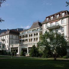
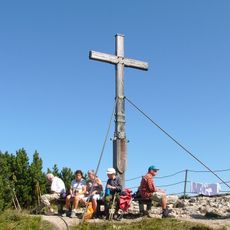
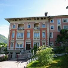
The community sits on major hiking routes with wide trails at different difficulty levels, from family-friendly paths like the Forest-Idyll Way to more demanding alpine routes between 550 and over 1700 meters elevation. The location offers good basic services including a train station and sufficient accommodations such as hotels, holiday apartments, and farm stays, while winter brings options for snowshoeing, sledding on an illuminated track, and cross-country skiing.
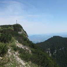
A distinctive landmark is the Lattengebirge mountain range with its distinctive shape that locals and visitors call the 'Sleeping Witch' - a mountain formation resembling a resting figure. This geological feature has inspired stories and legends across generations that remain alive in local culture today.
The community of curious travelers
AroundUs brings together thousands of curated places, local tips, and hidden gems, enriched daily by 60,000 contributors worldwide.