Hochstaufen, Mountain peak in Chiemgau Alps, Bavaria, Germany.
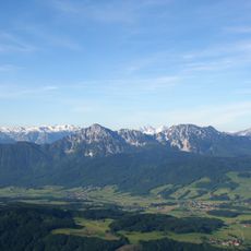
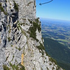
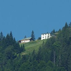
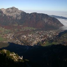
Hochstaufen is a 1,771-metre rock peak in the Chiemgau Alps, the easternmost mountain of the range, rising between Bad Reichenhall, Piding and Anger. Its summit is built of light grey Wetterstein limestone, and just below the top on the south side stands the Reichenhaller Haus. The east ridge climbs from the Staufenbrücke over the Fuderheuberg and the Steinerne Jäger to the summit.
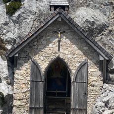
In the 17th century several mines operated on the Hochstaufen; the best known was the Doktor-Oswald-Gallery, cut only 60 m below the summit. From about 1350 to 1810 the ridge carried the border between Bavaria and Salzburg. The Staufenkapelle beside the Reichenhaller Haus was built in 1928–29.
The Staufenkapelle beside the Reichenhaller Haus is a small mountain chapel built in 1928–29. After the summer solstice a traditional open-air mass, the Staufenmesse, is held there and draws many visitors; the evening before, volunteers light fires along the ridge and path.
Hiking to the summit begins from several starting points including Bad Reichenhall and Piding, with routes ranging in difficulty. Proper footwear and preparation matter, especially since weather can change quickly at elevation.
Seismometers installed on the mountain track unusual ground movements that increase after heavy rainfall. This reveals how water filtering through the rock affects the mountain's inner activity.
The community of curious travelers
AroundUs brings together thousands of curated places, local tips, and hidden gems, enriched daily by 93,875 contributors worldwide.