Zwiesel, Mountain summit in Berchtesgadener Land, Germany
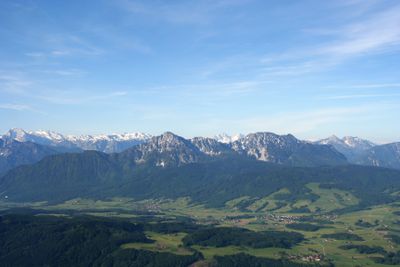
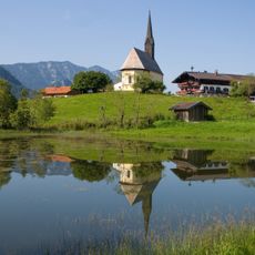
Zwiesel is a mountain in the Chiemgau Alps, in Berchtesgadener Land, southern Germany, with two clearly distinct summits that give it a forked silhouette. The twin peaks are visible from the surrounding valleys and set this mountain apart from the nearby ridges.
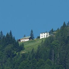
Zwiesel was recorded in Alpine maps during the 19th century, when geographers began systematically charting the Chiemgau range. Over time, the mountain became a known destination as hiking developed across the Bavarian Alps.
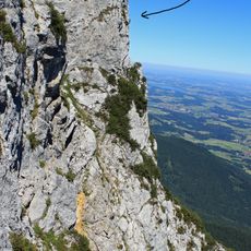
The name Zwiesel comes from an old German word meaning "fork" or "split", which directly describes the shape of the summit. Standing at the top, the reason for the name becomes immediately clear.
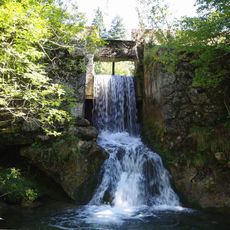
Several hiking routes reach the summit from different starting points in the valleys below, with varying levels of difficulty. Good footwear is important, and it is worth checking the weather before heading out, as conditions in this part of the Alps can change quickly.
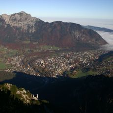
On a clear day, standing on the two summits gives slightly different views of the border between Germany and Austria. This makes the Zwiesel one of the few places where a short walk of a few steps shifts the panorama from one country to the other.
The community of curious travelers
AroundUs brings together thousands of curated places, local tips, and hidden gems, enriched daily by 60,000 contributors worldwide.