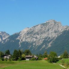
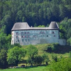
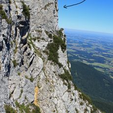
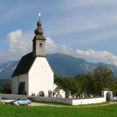
Fuderheuberg, Mountain summit in Bavaria, Germany.
Fuderheuberg is a mountain summit in Bavaria that rises to about 1,350 meters and features steep rocky paths with varied mountain vegetation. The slopes display changing landscapes, ranging from forested areas to open sections.
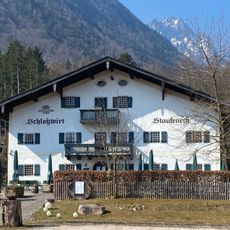
The name Fuderheuberg comes from its shape: the wooded, rounded massif resembles a Fuder, a wagonload of hay. The summit cross stands on the Fuderheustein, a rock outcrop at 1,321 m, while the highest point at 1,350 m lies toward the Hochstaufen and is unsuited to a cross because of the tree cover. Marked routes reach the summit from Piding via the Staufenbrücke or Mauthausen/Schloss Staufeneck, and from Bad Reichenhall via the Padinger Alm.
The name Fuderheuberg comes from its shape: a wooded, rounded hill resembling a Fuder, a cartload of hay. The summit cross stands on the Fuderheustein, a 1321 m rock outcrop, while the true high point at 1350 m lies toward the Hochstaufen and is left without a cross because trees block the view.
Marked trails lead to the summit from Piding, via the Staufenbrücke or Mauthausen/Schloss Staufeneck, and from Bad Reichenhall via the Padinger Alm. About 200 metres below the summit stands the unstaffed Pidinger Hütte, which offers no food or drink. The crossing to the Hochstaufen runs over the Steinernen Jäger.
The summit cross stands on the Fuderheustein, a rock outcrop at 1,321 m, not on the mountain's highest point of 1,350 m toward the Hochstaufen, which is wooded and poorly suited to a cross. The name comes from the hill's shape, which resembles a Fuder, a cartload of hay. About 200 metres below the summit in the north lies the unstaffed Pidinger Hütte.
The community of curious travelers
AroundUs brings together thousands of curated places, local tips, and hidden gems, enriched daily by 93,876 contributors worldwide.