Ainring, municipality in the Upper Bavarian district of Berchtesgadener Land, Germany
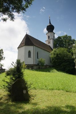
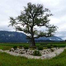
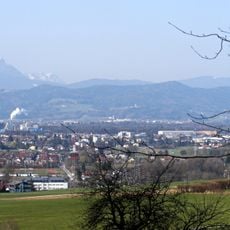
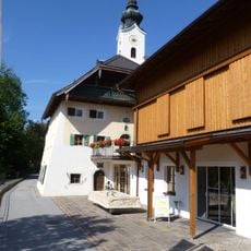
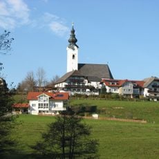
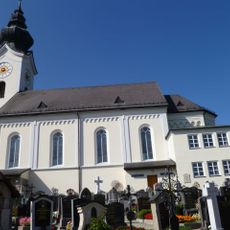
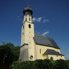
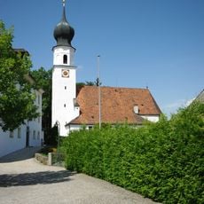
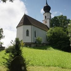
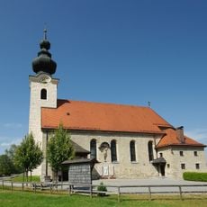
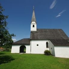
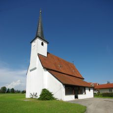
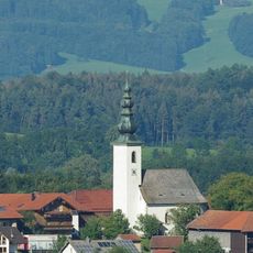
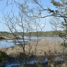
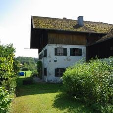
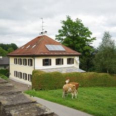
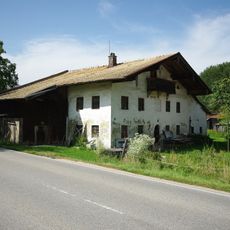
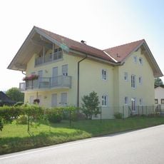
Ainring is a small municipality in the Berchtesgadener Land region, surrounded by green fields, gentle hills, and mountains. It has about nine thousand residents, a church called St. Laurentius, and several smaller villages connected by forests and open countryside.
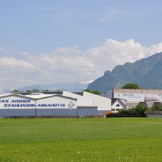
The area was first settled around five thousand years ago near Hammerau. It was first mentioned in writing around 790 and the name comes from a person called Einher. From the 1500s onward, iron processing became important, and the Annahütte factory remains a major employer in the region.
The name comes from a person named Einher, with the suffix -ing meaning 'people of Einher.' Today residents celebrate local traditions like Fasching on Shrove Tuesday, gather at community events with music and food, and maintain a strong sense of neighborly connection that shapes daily life.
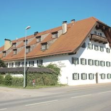
The town is easily reached by train and main roads, offering access to walking paths through the countryside and nearby lakes like the Königssee. Visitors find local shops, an EDEKA market, and community facilities that provide basic services and help with orientation.
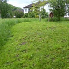
The town has a repair cafe where residents bring old items to fix rather than throw away, fostering community cooperation around reuse. This small but telling detail reflects how locals approach sustainability and neighborly support in their daily routines.
The community of curious travelers
AroundUs brings together thousands of curated places, local tips, and hidden gems, enriched daily by 60,000 contributors worldwide.