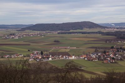
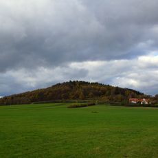
Buchberg, Mountain summit in Kirchenlamitz, Germany
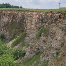
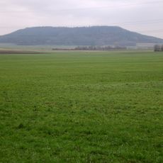
Buchberg is a summit in the Fichtel Mountains of Bavaria, defined by a granite rock face that points north. The exposed stone rises clearly above the surrounding forest and can be seen from different directions across the hilly terrain.
The Buchberg was designated a natural monument by German authorities in 1938, making it one of the earlier protected sites in the region. The decision focused on the granite outcrop itself and its geological character rather than on any human use of the land.
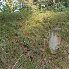
On the north face of the Buchberg, a memorial tablet honors Arthur Münch, a gamekeeper and forest manager who devoted his working life to this area. The tablet is easy to spot during a walk around the rocky outcrop and gives the visit a personal, human dimension.
The summit is reached by marked hiking trails that connect to a broader network of paths within the surrounding Natura 2000 area. Bringing a regional trail map is a good idea, as the network branches in several directions and it can be easy to miss the direct route to the top.
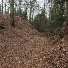
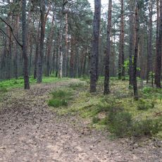
The Buchberg shelters one of the few remaining natural deciduous forest stands in the area, with old beech trees growing alongside uncommon understorey plants. This type of forest community is rare enough in the Fichtel Mountains that botanists consider it a notable local feature in its own right.
The community of curious travelers
AroundUs brings together thousands of curated places, local tips, and hidden gems, enriched daily by 60,000 contributors worldwide.