
Hassel, human settlement in St. Ingbert, Germany
Location: Sankt Ingbert
Elevation above the sea: 254 m
GPS coordinates: 49.26500,7.16198
Latest update: March 14, 2025 20:24
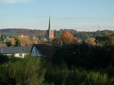
St. Josef
3.6 km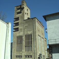
Beckerturm St. Ingbert
3.5 km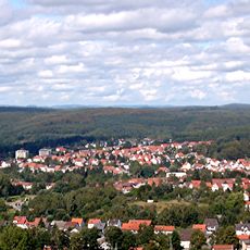
Kahlenberg (Rohrbach)
1.3 km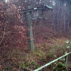
Kahlenbergbahn St. Ingbert
929 m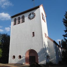
Église du Christ
1.5 km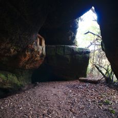
Eichertsfels
1.9 km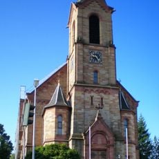
St. Johannes
2 km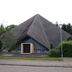
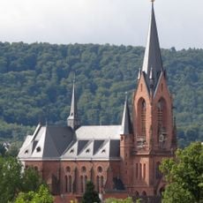
St. Michael
3.5 km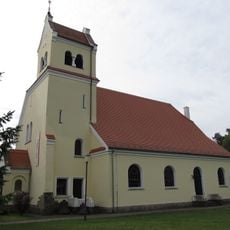
Protestant Church (Hassel, Saar)
364 m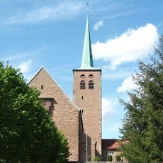
Herz Jesu
245 m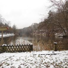
Griesweiher
1.5 km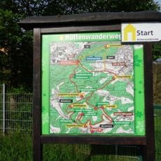
Hüttenwanderweg
2.7 km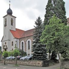
Herz-Jesu-Kirche
2.8 km
Hochscheid
1.7 km
Oberwürzbach-Hirschental
3.3 km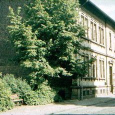
Pfarrgaßschulhaus
3.3 km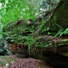
Schindtaler Felsen
3.1 km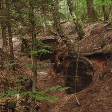
Ehemaliger Steinbruch
1 km
Frohnsbachtal - Geissbachtal
2.5 km
Ritterstal
1.7 km
Lambertsberg
2.4 km
Ensemble Brauerei Becker
3.5 km![Landschaftsschutzgebiet im [ehem.] Landkreis St. Ingbert](https://img3.digsty.com/qlh6mkJRww3dQGwAp9hBWbRuCylKYj6Q1AGtbPfMyMg/rs:fill:230:230:1/g:fp:0.5:0.5/czM6Ly9hcm91bmR1cy8xNC83MTgxMTc2LWE1YzYzYjc2LmpwZw.jpg)
Landschaftsschutzgebiet im [ehem.] Landkreis St. Ingbert
1.4 km
Kaiserstraße 13
3.6 km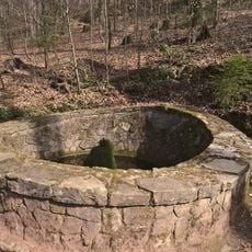
Martin Sprengard Brunnen
2.4 km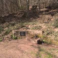
Brunnen im Saulager
2.5 km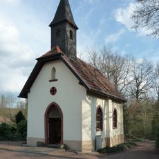
Geistkircher Kapelle
2.2 km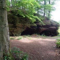
Eichertsfelsen bei Oberwürzbach
2.1 kmReviews
Visited this place? Tap the stars to rate it and share your experience / photos with the community! Try now! You can cancel it anytime.
Discover hidden gems everywhere you go!
From secret cafés to breathtaking viewpoints, skip the crowded tourist spots and find places that match your style. Our app makes it easy with voice search, smart filtering, route optimization, and insider tips from travelers worldwide. Download now for the complete mobile experience.

A unique approach to discovering new places❞
— Le Figaro
All the places worth exploring❞
— France Info
A tailor-made excursion in just a few clicks❞
— 20 Minutes